What is recorded here
Fairy fort / stone ringfort in Rockingham Demesne (boyle By., Rockingham.ed) is a fairy fort or stone ringfort in Rockingham Demesne (boyle By., Rockingham.ed), County Roscommon, Ireland. The circular grass-covered area measures 23.5m in diameter and sits at the north edge of an east-northeast to west-southwest limestone ridge above a field system. A grass-covered stone spread 1.2 to 2m wide and about 0.45m high defines the boundary, with traces of facing stones still visible. Two entrances break the ring, one 1m wide at the southwest and one 1.6m wide at the northwest.
At the N edge of an ENE-WSW limestone ridge at the N edge of field system (RO006-091001-). Circular grass-covered area (diam. 23.5m N-S; 23.5m E-W) defined by a grass-covered stone spread (Wth 1.2-2m; H c. 0.45m) with traces of facing stones. There are entrances at SW (Wth 1m) and NW (Wth 1.6m). Identified and recorded by S. Moore in an EIS project.
Compiled by: Michael Moore
Date of upload: 24 August 2010
The monument record does not grant public access. Check the route and ask the landowner before entering private land.
- What survives
- Recorded monument
Places near here
 Embanked enclosureFairy fort / stone ringfort · 309 yd
 Lough Key Forest ParkWood · 600 yd
 Rockingham DemesneRuins · 836 yd
 Horse-chestnutHorse-chestnut · 901 yd
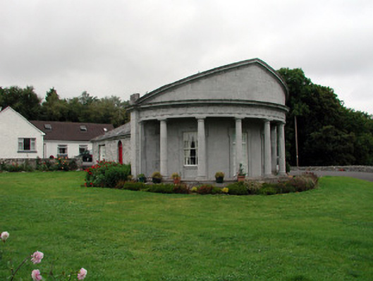 Rockingham Housegate lodge · 998 yd
 Western RedcedarWestern Redcedar · 1013 yd
 Enclosure in Rockingham Demesne (boyle By., Rockingham.ed)Enclosure · 1160 yd
 Longford HillMountain / peak · 1166 yd
 Castle IslandIslet · 1563 yd
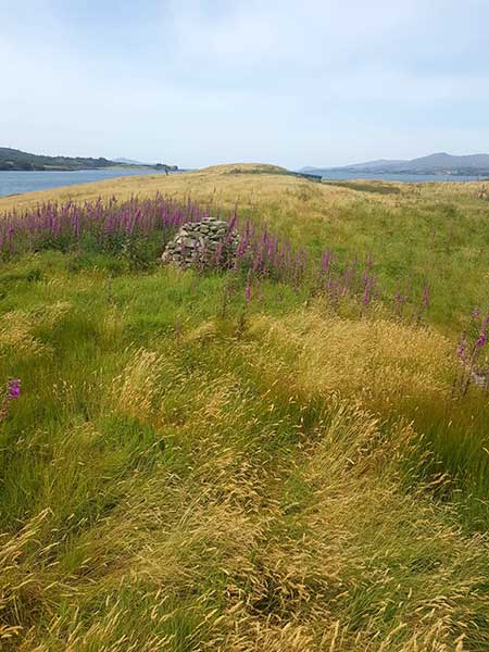 Drummans IslandIsland · 1710 yd
 Erris BayBay · 1.0 mi
 Boyle AbbeyHeritage attraction · 2.5 mi