What is recorded here
That is the end of the evidence available in the supplied source.
Some 130m to the WSW of another cashel (GA123-085----). Marked on the 1838 edition of the OS 6-inch map as an oval enclosure (c. 25m E-W; c. 20m N-S). Apart from the arc of a drystone wall running from SE through S to W, no visible surface trace survives. A hay barn occupied the interior. A gravel pit lies outside the enclosing element from S to W.
Compiled by: Galway Archaeological Survey, UCG
Date of upload: 13 March 2018
The monument record does not grant public access. Check the route and ask the landowner before entering private land.
- What survives
- Recorded monument
Places near here
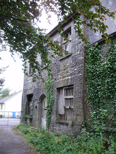 workhouseworkhouse · 259 yd
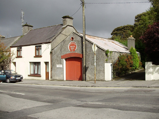 T. Burkeforge/smithy · 367 yd
 Cavalry Bks on Site of Gort CastleCastle, unclassified · 917 yd
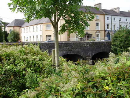 IndicatedFairy fort / stone ringfort · 1295 yd
 Enclosure in CarraghEnclosure · 1308 yd
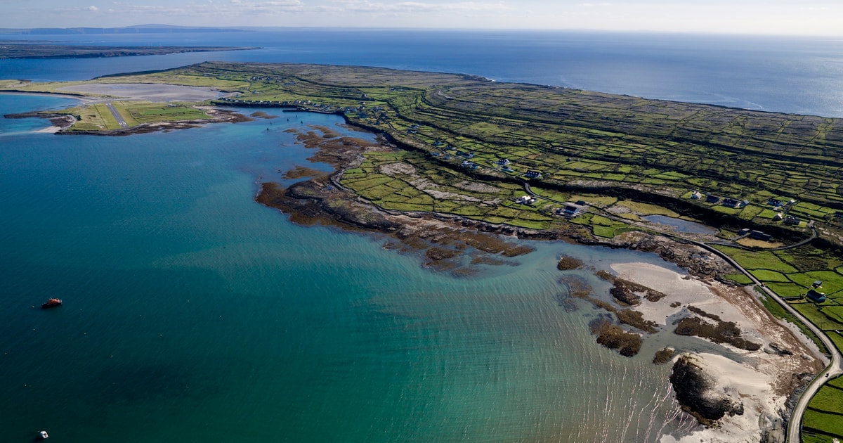 Beagh IslandWood · 1.8 mi
 Castle IslandIsland · 1.9 mi
 Castle in ruinsCastle, tower house · 2.0 mi
 Rick's IslandWood · 2.0 mi
 Holly IslandIslet · 2.3 mi
 Kilmacduagh Monastic SiteVisitor information · 3.2 mi
 Kilmacduagh MonasteryHeritage attraction · 3.3 mi