What is recorded here
On N-facing slope in reclaimed pastureland. An arc of collapse and wall foundations (Wth 2.4m), in NW corner of a field, was pointed out as the site of a possible 'fort'. This may be the last vestiges of SE sector of an originally almost circular enclosure (D c. 29m).
The above description is derived from the published 'Archaeological Inventory of County Galway Vol. II - North Galway'. Compiled by Olive Alcock, Kathy de hÓra and Paul Gosling (Dublin: Stationery Office, 1999).
Date of upload: 05 August 2010
The monument record does not grant public access. Check the route and ask the landowner before entering private land.
- What survives
- Recorded monument
Places near here
 RathmoreFairy fort / earthen ringfort · 772 yd
 IndicatedFairy fort / ringfort · 973 yd
 Ballinderry HouseBuilding · 1147 yd
 Ballinderry CastleCastle, tower house · 1325 yd
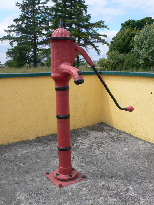 water pumpwater pump · 1515 yd
 Corrofin CastleCastle · 1.5 mi
 Knockmoy AbbeyHeritage attraction · 4.1 mi
 Common WhitebeamCommon Whitebeam · 4.4 mi
 SycamoreSycamore · 4.4 mi
 Mass RockNamed rock · 6.4 mi
 Kilcoona Round TowerHeritage attraction · 8.0 mi
 Ballinduff BayBay · 9.5 mi