What is recorded here
Marianne Rachael Lacey, a tall and very strong young woman, stood beside the stone ring in Ramooney, her red hair catching the last light while she waited for Dan. The fort sat on a natural rise above Tullyskeherny, its grass-covered wall marking a boundary people still recognized though they no longer lived inside it. She liked that the stones had kept their shape through centuries of rain and forgetting. When Dan finally arrived, breathless and laughing, she pointed at the entrance and told him the fairy fort had been patient enough to hold a human meeting.
Situated on top a natural rise on the NW-facing slope of a hill. Grass-covered subcircular area (int. dims. 20.5m E-W; 17.1m N-S) defined by a grass-covered and overgrown stone spread (Wth 2.5m; int. H 0.35m; ext. H 0.85m) with the intermittently visible facing-stones of a wall (Wth 1.1m). The entrance (Wth 1.9m) is at ENE and the perimeter at E forms the townland boundary with Tullyskeherny. Cashel (LE011-022----) is c. 50m to the S.
The above description is derived from 'The Archaeological Inventory of County Leitrim' compiled by Michael J. Moore (Dublin: Stationery Office, 2003). In certain instances the entries have been revised and updated in the light of recent research.
Date of upload: 23 September 2008
The monument record does not grant public access. Check the route and ask the landowner before entering private land.
- What survives
- Recorded monument
Places near here
 Cloonclare Church (in Ruins)Church · 797 yd
 Ecclesiastical enclosure in CloonclareEcclesiastical enclosure · 801 yd
 Teach AllaisSweathouse · 865 yd
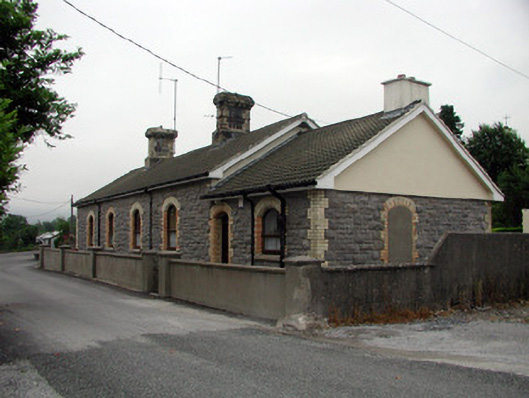 Manorhamilton Railway Stationrailway station · 1135 yd
 The Giants GraveArchaeological place · 1565 yd
 Giants RockNamed rock · 1.2 mi
 BenboMountain / peak · 2.7 mi
 Kilroosk RockNamed rock · 3.3 mi
 Ashisland WoodForest · 3.5 mi
 Longhill WoodForest · 3.7 mi
 Ballaghnabehy TopMountain / peak · 3.7 mi
 Castle CarCastle · 4.0 mi