What is recorded here
Brambles and forgotten stone mark a circular cashel twenty-four metres wide on an east-facing Galway slope. The drystone wall has collapsed beneath grass and a later field boundary, leaving only a narrow west-northwest gap and the memory of an enclosed life. People may have stood inside that ring, watched the valley, or abandoned it when the land changed hands. The fort still holds its shape beneath the bushes, waiting for someone to remember what it kept.
On an E-facing slope in undulating pastureland. Poorly preserved and grassed-over circular cashel (diam. 24m) defined by a collapsed drystone wall. A field wall overlies the enclosing element from NE to E. A gap (Wth 2.5m) at NW may be original. The monument is heavily overgrown with brambles and bushes.
Compiled by: Galway Archaeological Survey, UCG
Date of upload: 7 March 2018
The monument record does not grant public access. Check the route and ask the landowner before entering private land.
- What survives
- Recorded monument
Places near here
 Enclosure in CarraghEnclosure · 444 yd
 ‘Tobermacduagh’Holy well · 880 yd
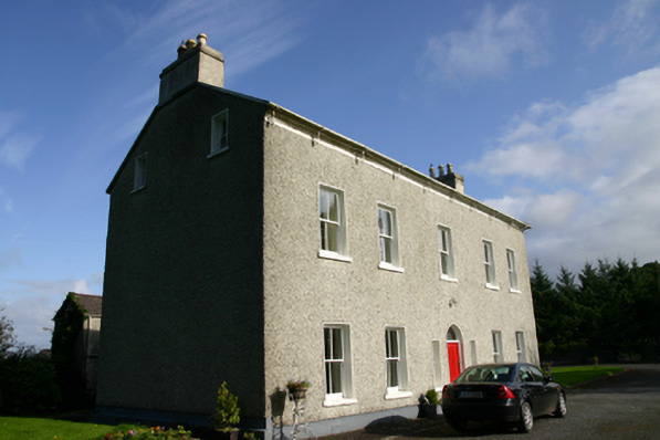 Cloon Housecountry house · 1359 yd
 Saint Columba's Catholic Churchchurch/chapel · 1501 yd
 Cavalry Bks on Site of Gort CastleCastle, unclassified · 1.1 mi
 Bawn in BallyconnellBawn · 1.6 mi
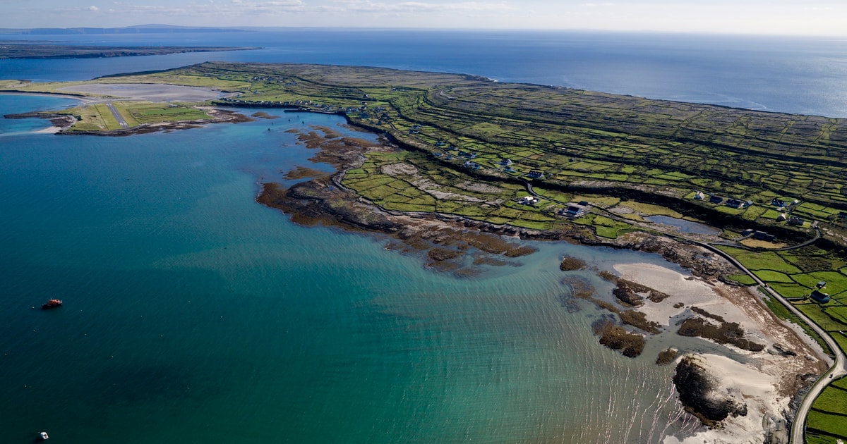 Beagh IslandWood · 1.8 mi
 Rick's IslandWood · 2.0 mi
 Castle IslandIsland · 2.2 mi
 Holly IslandIslet · 2.3 mi
 Kilmacduagh Monastic SiteVisitor information · 4.2 mi
 Kilmacduagh MonasteryHeritage attraction · 4.2 mi