What is recorded here
Mortals built the cashel, but the cliffs and ravines suggest the land refused to be owned. Hazel branches still pull at the double-faced wall, hiding the exact line where human stone ends and mountain begins. The fairies likely took the rest, leaving behind a rectangle sharp enough to cut reason but blurred enough to preserve wonder.
On a bedrock knoll covered by hazel wood, on a shelf overlooking the Poulacarran and Eanty valleys from SW to NE. A cliff rises immediately to SE, and ravines to S and N. Hachured on the 1842 and 1920 eds. of the OS 6-inch map. This overgrown subrectangular cashel (25m NNW-SSE; 24.3m ENE-WSW) is defined by a double-faced wall (H c. 1.7-2m; Wth 1.3-1.4m) which is best preserved at NNW-SW, its outer face incorporating large horizontally laid slabs. Wall rubble has fallen down the slopes outside the cashel, while it has also collected on the inside (Wth 0.7-2.7m). The interior slopes to S, with a house (CL009-083002-) at E. A standing stone (CL009-083003-) lies c. 41m to the NNW.
Compiled by: Mary Tunney and Conn Herriott
Date of upload: 12 April 2022
The monument record does not grant public access. Check the route and ask the landowner before entering private land.
- What survives
- Recorded monument
Places near here
 Cliff-edge fort in PoulacarranCliff-edge fort · 275 yd
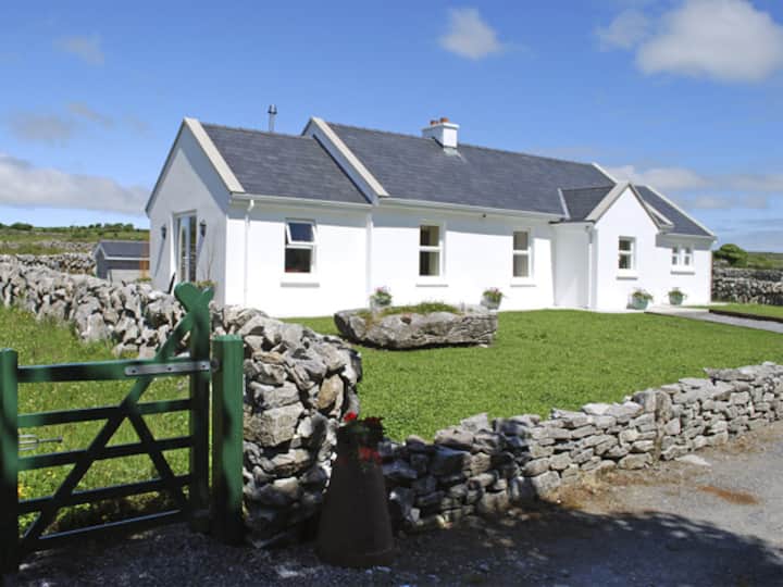 Enclosure in CarranEnclosure · 849 yd
 Farbrega RockNamed rock · 1124 yd
 Carran Church (in ruins)Church · 1408 yd
 Templeline (in ruins)Church · 1.1 mi
 CaherconnellHeritage attraction · 1.7 mi
 Castle in ruinsCastle, tower house · 1.8 mi
 Castle (in ruins)Castle, unclassified · 1.8 mi
 Poulnabrone - Burren GeositeVisitor information · 1.9 mi
 The Portal TombVisitor information · 1.9 mi
 PoulnabroneMemorial · 2.0 mi
 Poulnabrone DolmenHeritage attraction · 2.0 mi