What is recorded here
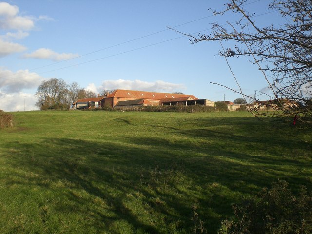
Fairy fort in Oldabbey, County Limerick: a roughly circular cashel, 27.8 by 30 metres, with a scarped edge half a metre high and nearly three metres wide, best preserved from the east to the southeast. It sits in pasture on a gentle northeast-facing slope, its uneven interior hiding a shallow depression in the northeast quadrant. People may have lived there, marked territory, or simply avoided it after dark; the stones no longer argue about which.
In pasture, on gentle NE-facing slope. Roughly-circular area (27.8m N-S; 30m E-W) defined by scarped edge (H 0.5m; Wth 2.65m) best preserved E->SE. Uneven interior, under pasture, with depression (0.7m N-S x 0.75m E-W; D 0.35m) in NE quadrant. (Wardell describes this as a cashel- see file for ref)
Compiled by: Denis Power
Date of upload: 26 August 2011
The monument record does not grant public access. Check the route and ask the landowner before entering private land.
- What survives
- Recorded monument
Places near here
 MonasternagalliaghduffReligious house, Augustinian nuns · 325 yd
 Burial ground in OldabbeyBurial ground · 362 yd
 Movena Housecountry house · 512 yd
 Settlement desertedSettlement deserted, medieval · 516 yd
 CastleCastle, unclassified · 1052 yd
 Site of CastleCastle, unclassified · 1293 yd
 Foynes Flying Boat & Maritime MuseumMuseum · 3.5 mi
 Foynes Island ViewpointViewpoint · 3.7 mi
 Gammarel PointHeadland · 3.7 mi
 Holly IslandIslet · 4.1 mi
 St. Luke's WellSpring · 4.1 mi
 Foynes IslandIsland · 4.2 mi