What is recorded here
Fairy fort in Murroe, County Donegal: a ruined stone ringfort, 16 metres across, with a wall once 2.4 metres wide. It sits close to the sea, exposed, with steep falls to the south and west and poor pasture nearby. The name suggests people once believed the fairies had claimed it back from human memory.
Internal diam. 16m. A circular area enclosed by a ruined stone wall orig-inally c. 2.4m wide. There is a low heap of loose stones in the interior on the N side. The site is located in an exposed position close to the sea, with steep falls to the S and W. There is poor pasture in the immediate vicinity but better land at lower levels.
The above description was derived from the 'Archaeological Survey of County Donegal. A description of the field antiquities of the County from the Mesolithic Period to the 17th century.' Compiled by: Brian Lacey with Eamon Cody, Claire Cotter, Judy Cuppage, Noel Dunne, Vincent Hurley, Celie O'Rahilly, Paul Walsh and Seán Ó Nualláin (Lifford: Donegal County Council, 1983). In certain instances the entries have been revised and updated.
Date of upload: 22 September 2008
The monument record does not grant public access. Check the route and ask the landowner before entering private land.
- What survives
- Recorded monument
Places near here
 Murroe Stone RingfortFairy fort / stone ringfort · 342 yd
 Cashelnagrossan Stone FortFairy fort / stone ringfort · 1179 yd
 Tramore StrandBeach / strand · 1381 yd
 Mc Swyne's GunHeritage attraction · 1.5 mi
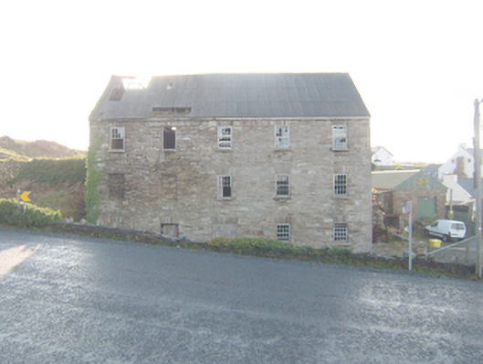 The Carriage Hostelmill (water) · 1.5 mi
 Cliffs near Pollaguill BayPublicly named cliff or headland · 1.6 mi
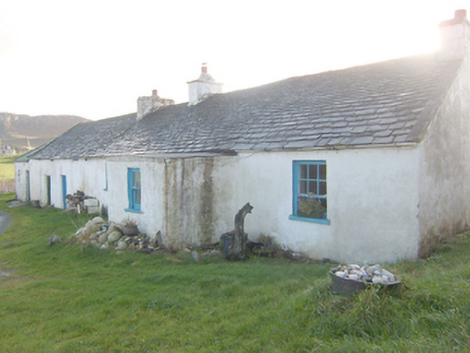 The Rockhouse · 1.6 mi
 DrumnatinnyOfficial bathing water · 1.9 mi
 Local Wildlife presentationVisitor information · 2.4 mi
 Cliffs near ClagganPublicly named cliff or headland · 2.4 mi
 Boys IslandIslet · 2.5 mi
 Wych ElmWych Elm · 2.7 mi