What is recorded here
No visible stone remains, yet the flat ridge still carries the shape of a forgotten circle. People may have built walls there, excluded others, and left the field empty.
On a low recently levelled ridge. Classified by McCaffrey (1952, 137, no. 56a) as a circular ‘Stone fort’ (diam. c. 33m) defined by a collapsed drystone wall. No visible surface trace survives.
Compiled by: Galway Archaeological Survey, UCG
Date of upload: 27 February 2018
The monument record does not grant public access. Check the route and ask the landowner before entering private land.
- What survives
- Recorded monument
Places near here
 Bawn in MoyveelaBawn · 349 yd
 IndicatedFairy fort / stone ringfort · 850 yd
 TemplegalChurch · 1307 yd
 Derrydonnell Castle (in ruins)Castle, tower house · 1609 yd
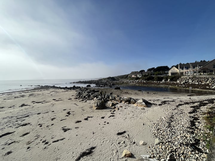 Man-made underground passage in BallinillaunMan-made underground passage · 1673 yd
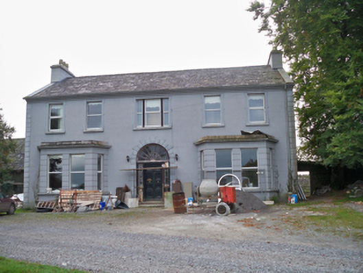 Lavallycountry house · 1.1 mi
 Kilcornan WoodWood · 2.1 mi
 Loughaun WoodWood · 2.7 mi
 Athenry AbbeyHeritage attraction · 4.1 mi
 Athenry CastleHeritage attraction · 4.2 mi
 First Battle of Athenrybattle · 4.6 mi
 MweenisharanIslet · 6.5 mi