What is recorded here
Mountcashel holds a stone ringfort where local people once drew bright red circles around it at Samhain, believing the boundary kept unseen creatures out or contained them within. The red marker may have been a warning, a gift, or a joke shared among neighbours who understood that ownership and permission belong to different worlds.
The Archaeological Survey of Ireland (ASI) is in the process of providing information on all monuments on The Historic Environment Viewer (HEV). Currently the information for this record has not been uploaded. To access available information for research purposes please make an appointment in advance with the Archive Unit (open Fridays 10.00 am – 5.00 pm), Department of Housing, Local Government and Heritage, The Custom House, Dublin 1 D01W6XO or email NMarchive@housing.gov.ie.
The monument record does not grant public access. Check the route and ask the landowner before entering private land.
- What survives
- Recorded monument
Places near here
 Castle (in ruins)Castle, tower house · 496 yd
 EnclosureEnclosure, large enclosure · 913 yd
 Enclosure in CloonmunniaEnclosure · 1159 yd
 islandWood · 1441 yd
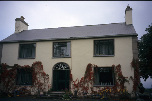 Walton Lodgehouse · 1.0 mi
 Drumullan Castle (Site of)Castle, unclassified · 1.2 mi
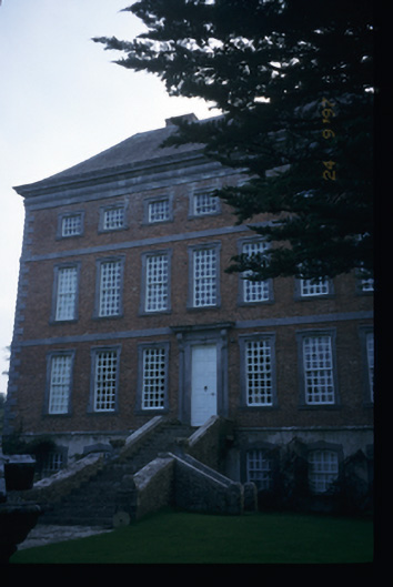 Mount Ievers Courtcountry house · 2.0 mi
 CraggaunowenNationally known place · 2.8 mi
 The RingfortHeritage attraction · 2.9 mi
 Mass RockMemorial · 3.6 mi
 Cloghleagh RockNamed rock · 4.1 mi
 Mooghaun WoodsWood · 4.3 mi