What is recorded here
Macha Ghrianáin holds a faded stone ring on the ridge between Loughs Namona, Cloonaghlin and Iskanamacteery, large enough for a small household yet so worn it no longer shows on official maps. Inside the main circle sits another round bank, perhaps a later sheepfold, while the older wall has softened into a sod-covered ledge with stray stone facing at the south. People may have lived there, herded there or simply passed by and forgotten the name, leaving two circles nested like a thought half-remembered.
Internal diam. 21.5m
This poorly preserved circular caher, containing the remains of a probable hut, is situated on the N slopes of the ridge which separates Loughs Namona and Cloonaghlin from Lough Iskanamacteery. It is not marked on the OS maps. The enclosing wall is reduced to a bank of sod-covered collapse which features traces of roughly constructed drystone facing externally at S. The bank measures 2.5m wide and .8m high. A ruined circular structure, probably a relatively modern sheepfold, overlies a circular enclosure (KE090-016001-) in the interior of the site. The latter measures about 10m in internal diameter, and its enclosing bank averages 1.7m wide and .7m high. An entrance, 1.4m wide, is located at E.
The above description is derived from A. O'Sullivan and J. Sheehan (compilers), 'The Iveragh peninsula: an archaeological survey of South Kerry'. Cork University Press (1996), no. 611. In certain instances the entries have been revised and updated in the light of recent research.
Date of upload: 29 July 2013
The monument record does not grant public access. Check the route and ask the landowner before entering private land.
- What survives
- Recorded monument
Places near here
 An Bheann MhórMountain / peak · 1.1 mi
 Beann na StiocairíMountain / peak · 1.2 mi
 Ecclesiastical enclosure in Ceapaigh Na GcrannEcclesiastical enclosure · 1.4 mi
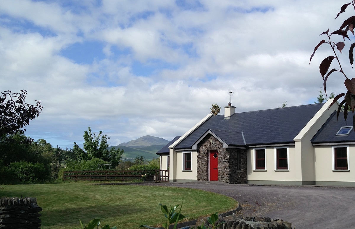 Hut site in Cois ChomarachHut site · 1.5 mi
 Scoil Náisiúnta Máistir Gaoithe [Mastergeehy National School]school · 3.1 mi
 2Cliff · 3.6 mi
 An PlaoscHeadland · 3.7 mi
 Dromod Church (in Ruins)Church · 4.0 mi
 CastleCastle, tower house · 5.9 mi
 De Gaulle MemorialMonument · 6.1 mi
 Coral BeachBeach / strand · 6.2 mi
 Sneem Commemoration PlaqueMemorial · 6.2 mi