What is recorded here
No visible entrance and a hidden underground passage transform the ruined ring into a living trap. The fairies may still walk beneath the grass, waiting for a human foot to break their quiet circle.
Internal diam. 18.5m N-S, 17.8m E-W
Located in sloping pasture with an excellent outlook over Kenmare Bay, this circular caher is poorly preserved. Its enclosing wall is 2.3m in average width and consists of a ruble core faced internally and externally with drystone masonry. Sections of the internal facing appear to have been rebuilt in modern times. Two concentrations of loose stone occur in the overgrown interior of the site. It is not clear if they represent field clearance or the collapsed remains of internal structures. A Man-made underground passage (KE107-005001-) is locally reputed to occur in the site, but its exact location is unknown.
The above description is derived from A. O'Sullivan and J. Sheehan (compilers), 'The Iveragh peninsula: an archaeological survey of South Kerry'. Cork University Press (1996), no. 607. In certain instances the entries have been revised and updated in the light of recent research.
Date of upload: 29 July 2013
The monument record does not grant public access. Check the route and ask the landowner before entering private land.
- What survives
- Recorded monument
Places near here
 Liss Man-made underground passageArchaeological place · 5 yd
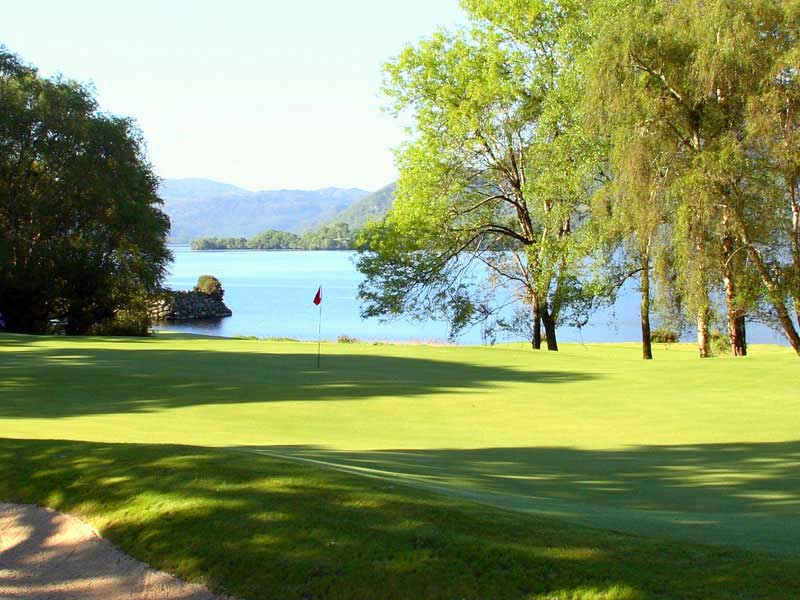 KilleenArchaeological place · 271 yd
 Cowlagh (in Ruins)Church · 768 yd
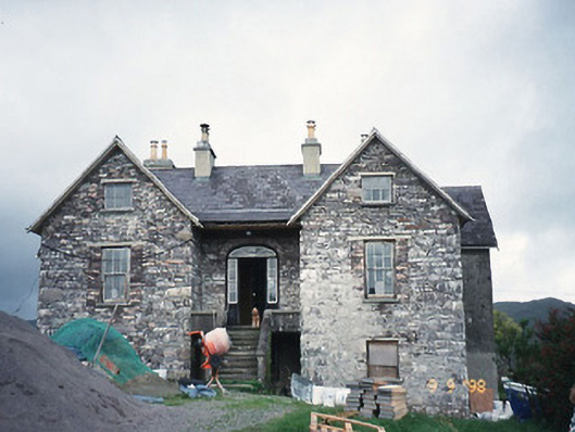 Scart Househouse · 1064 yd
 Castle Cove (in Ruins)Castle, tower house · 1540 yd
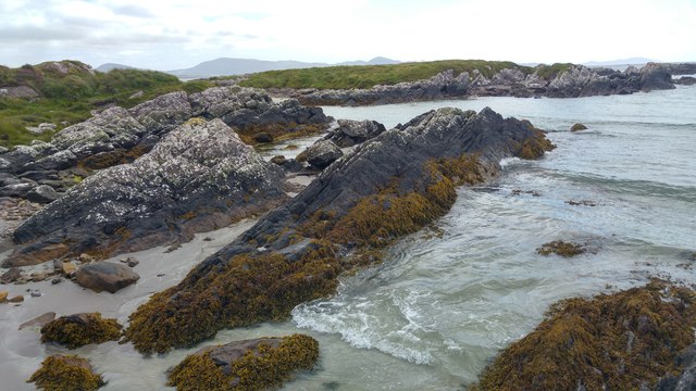 White StrandBeach / strand · 1742 yd
 Cnoc na StéigeMountain / peak · 1.4 mi
 Eagles HillMountain / peak · 1.6 mi
 IllaundraneIslet · 1.7 mi
 Reen BeachBeach / strand · 2.0 mi
 2Cliff · 2.0 mi
 Liss CashelArchaeological place · 607 yd