What is recorded here
Knocknacreeva held a forty-metre stone ring on a sunny slope, yet human eyes see only grass now. The fairies took the walls back when people stopped visiting, leaving behind a hollow feeling rather than a ruin. What the spirits build, they can unmake, which means the fort still exists somewhere just beneath the soil.
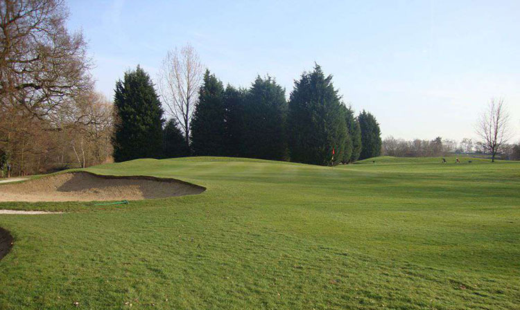
On a S-facing slope in grassland. Named 'Caher' on OS Fair Plan and marked on 1st ed. of OS 6-inch map as a circular enclosure (D c. 40m). No visible surface trace survives.
The above description is derived from the published 'Archaeological Inventory of County Galway Vol. II - North Galway'. Compiled by Olive Alcock, Kathy de hÓra and Paul Gosling (Dublin: Stationery Office, 1999).
Date of upload: 05 August 2010
The monument record does not grant public access. Check the route and ask the landowner before entering private land.
- What survives
- Recorded monument
Places near here
 Moor Abbey (in ruins)Religious house, unclassified · 958 yd
 IndicatedFairy fort / stone ringfort · 969 yd
 Castle LambertCountry house · 1256 yd
 CaherbriskaunFairy fort / stone ringfort · 1259 yd
 Castle (in Ruins)Castle, unclassified · 1.6 mi
 Convent (in ruins)Castle, ringwork · 2.2 mi
 First Battle of Athenrybattle · 3.3 mi
 Horse-chestnutHorse-chestnut · 3.3 mi
 Athenry CastleHeritage attraction · 3.5 mi
 Athenry AbbeyHeritage attraction · 3.5 mi
 The HazelWood · 4.2 mi
 Rabbit IslandIslet · 8.2 mi