What is recorded here
Knockauncoura held a thirty-metre stone ring on a north-facing slope, large enough to exclude ordinary doubt and visible enough for the 1838 map to trace its edge. By 1986 the land had taken back every marker, leaving only a field boundary and a forgotten trackway to suggest that people once drew a circle around their own affairs. The fairies may have done no more than finish what rain and ploughs had begun.
On a N-facing slope in farmland. Marked on the 1838 edition of the OS 6-inch map as a circular enclosure (diam. c. 30m). A field boundary extended off it at NNW and a trackway ran into it at ENW. On inspection in January 1986 no visible surface trace survived.
Compiled by: Galway Archaeological Survey, UCG
Date of upload: 26 July 2019
The monument record does not grant public access. Check the route and ask the landowner before entering private land.
- What survives
- Recorded monument
Places near here
 Macduaghs TreeRitual site, holy tree/bush · 803 yd
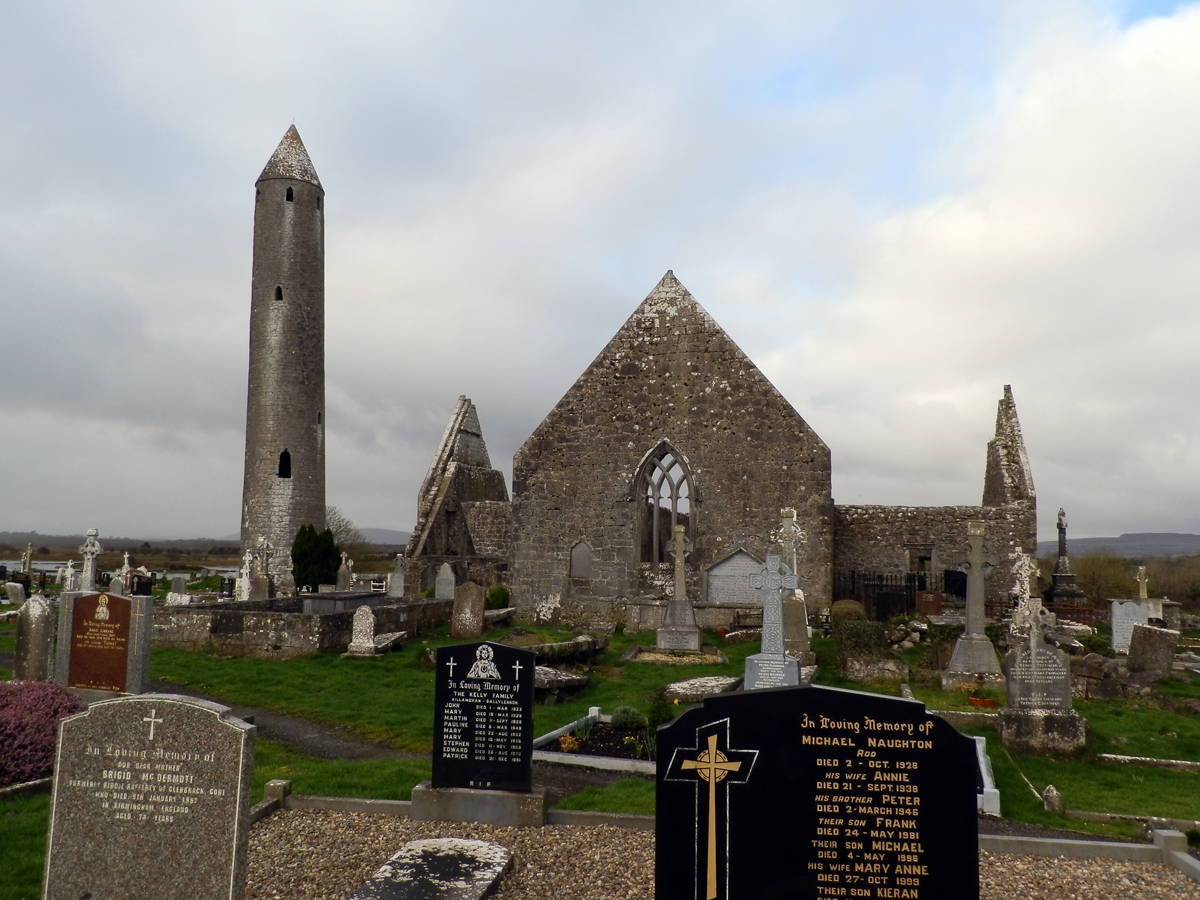 TobermacduaghHoly well · 834 yd
 Kilmacduagh Monastic SiteVisitor information · 839 yd
 Shanclogh Glebe House (in ruins)Castle, hall-house · 864 yd
 Kilmacduagh MonasteryHeritage attraction · 883 yd
 Church of St. John the Baptist (in ruins)Church · 893 yd
 Monaster Munter Heyne or OHeynes Monastery (inReligious house, Augustinian canons · 987 yd
 Castle (in ruins)Bawn · 1.2 mi
 Coole-Garryland Nature ReserveNature reserve · 2.7 mi
 Coole ParkWood · 3.2 mi
 Swan IslandIsland · 3.6 mi
 Castle IslandIsland · 3.9 mi