What is recorded here
Kilbeg holds a circular stone ringfort on a north-facing slope, its overgrown bank pierced by two worn tracks where people or animals once passed. The interior still scatters loose stones across the ground, suggesting a lived space rather than an empty myth. Local names call it a fairy fort, but the shape and wear point to human hands building a home or stronghold that time has half-erased.
In pasture, on N-facing slope. Circular area (22m N-S; 20m E-W) enclosed by overgrown dump-construction stone bank. Track worn through bank to N (Wth 0.8m) and SE (Wth 1.1m). Stones scattered over surface of interior.
The above description is derived from the published 'Archaeological Inventory of County Cork. Volume 1: West Cork' (Dublin: Stationery Office, 1992). In certain instances the entries have been revised and updated in the light of recent research.
Date of upload/revision: 14 January 2009
The monument record does not grant public access. Check the route and ask the landowner before entering private land.
- What survives
- Recorded monument
Places near here
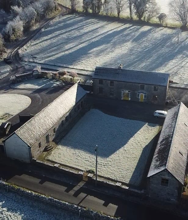 Burial ground in Kilbeg (carbery East (w.d) By.)Burial ground · 298 yd
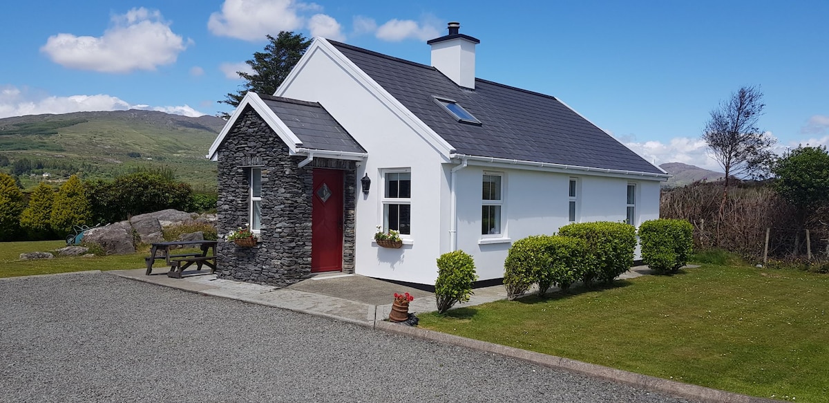 Hut site in Kilbeg (carbery East (w.d) By.)Hut site · 439 yd
 Church of St. Fachtnachurch/chapel · 963 yd
 Drombeg Househouse · 1126 yd
 Walk 1 - Drombeg Standing Stone Circle (7 - 9 km)Walking route · 1400 yd
 Drombeg Stone CircleArchaeological place · 1552 yd
 Drombeg Fulacht Fia and RuinsVisitor information · 1557 yd
 Trá an tAonaighBeach / strand · 1.5 mi
 Prison CoveBeach / strand · 1.8 mi
 Cooks WoodWood · 1.9 mi
 Long PointHeadland · 1.9 mi
 Wild Atlantic WayVisitor information · 2.0 mi