What is recorded here
Situated on a slight rise, in gently undulating pasture and scrub, overlooked by a low rise to E and NE. Monument described as an oval-shaped area enclosed by the collapsed remains of a stone rampart and a wide outer fosse, with no clear entrance feature visible.` The interior has a gentle ESE-facing slope and is divided by a low, broad earth and stone bank running roughly E-W across the northern sector. There are remains of later field boundaries in the form of earth and stone banks along the outer edges of the fosse. Later field fences intersect the site at NW, NNE, E and W. The interior is largely obscured by dense vegetation. A large house site (WM024-165001-) is visible in the N quadrant of the interior and a small house site (WM024-165002-) is visible in the SE quadrant. The remains of a more recent stone structure are built against the base of the scarp at ESE.
Compiled by Alison McQueen, Vera Rahilly and Caimin O’Brien.
Date of upload: 28 August 2019
The monument record does not grant public access. Check the route and ask the landowner before entering private land.
- What survives
- Recorded monument
Places near here
 Carn CastleCastle · 507 yd
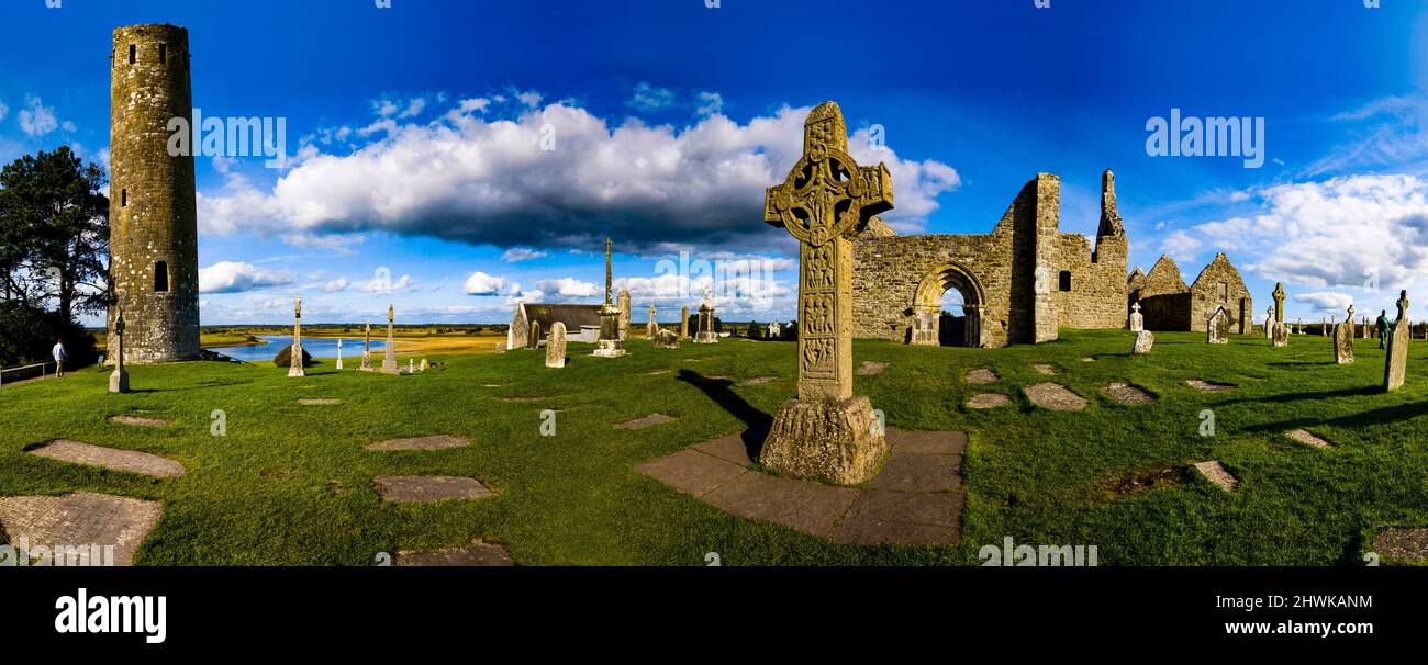 Partially hachuredFairy fort / earthen ringfort · 860 yd
 Hut site in Carn (rathconrath By.)Hut site · 899 yd
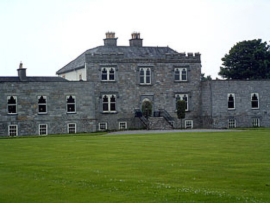 Jamestown Courtcountry house · 1051 yd
 Stremmingstown CastleCastle · 1424 yd
 Redmondstowndemesne walls/gates/railings · 1533 yd
 Hill of UisneachMountain / peak · 2.1 mi
 Sam's ParkForest · 2.2 mi
 European ashEuropean ash · 2.2 mi
 KnockastiaMountain / peak · 3.8 mi
 Charles BianconiMemorial · 8.6 mi
 The Bob Traynor GalleryGallery · 8.7 mi