What is recorded here
That is a ringfort on a natural hill in County Offaly, Ireland. Its scarped base and dry stone wall follow the rise, while the interior reaches a low rounded summit about two metres high. The shape is simple, but the view is not: every direction opens out from the top, as if the hill had been made into a chair for someone who liked watching rather than hiding.
On a natural rise of ground with good views in all directions. Natural hill which is scarped at its base with dry stone wall facing visible from NE through E to SW. The interior of the ringfort (57m N-S; 53m E-W) follows the natural rise of the hill rising to a low rounded summit (ext. H 2m) in the centre.
The above description is derived from the published 'Archaeological Inventory of County Offaly' (Dublin: Stationery Office, 1997). In certain instances the entries have been revised and updated in the light of recent research.
Date of upload: 23 May 2011
The monument record does not grant public access. Check the route and ask the landowner before entering private land.
- What survives
- Recorded monument
Places near here
 BarrowBarrow, bowl-barrow · 728 yd
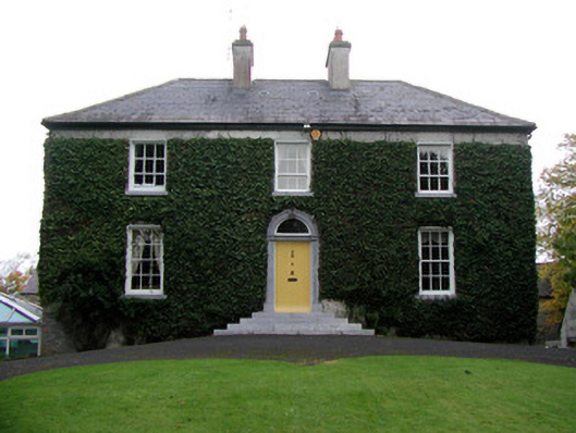 Tober Househouse · 772 yd
 Gorteen CastleCastle, unclassified · 872 yd
 Catholic Church of the Holy Familychurch/chapel · 908 yd
 Enclosure in KilmanaghanEnclosure · 1034 yd
 Roughan HillMountain / peak · 1061 yd
 ToberaskeenSpring · 1522 yd
 Moyally Castle (in Ruins)Bawn · 1.5 mi
 Inchaloon IslandIslet · 2.7 mi
 Moate HillMountain / peak · 2.8 mi
 Chapel HillForest · 2.8 mi
 Charles BianconiMemorial · 3.0 mi