What is recorded here
Glencraff holds a broken stone ring on a rocky knoll above Killary Harbour, where a collapsed wall still marks the edge of a small human world. The ground rises inside the circle, covered in peat and shadow, suggesting a hut once stood there while people watched the water below. It is not a fairy tale despite its name, but a forgotten home preserved by altitude and distance.
This cashel, which is located in a commanding position on a prominent rocky knoll at the N end of the Maumturk Mountains overlooking Killary Harbour, was brought to our attention by Mr Michael Gibbons, Archaeologist, Clifden. It is roughly oblong in plan (c. 18m NW-SE; c. 12.5m NE-SW) and is defined by a much-collapsed wall (Wth 2m) from E through S to N. It is not visible from N to E. There is a possible entrance gap at E. The interior is c. 1m higher than the enclosing wall, which follows the lower edge of the knoll. It is covered with peat but possible traces of a hut are visible within it. There is a Coillte pine forest c. 100m to the N.
Compiled by: Olive Alcock based on information supplied by Mr Michael Gibbons
Date of upload: 8 February 2018
The monument record does not grant public access. Check the route and ask the landowner before entering private land.
- What survives
- Recorded monument
Places near here
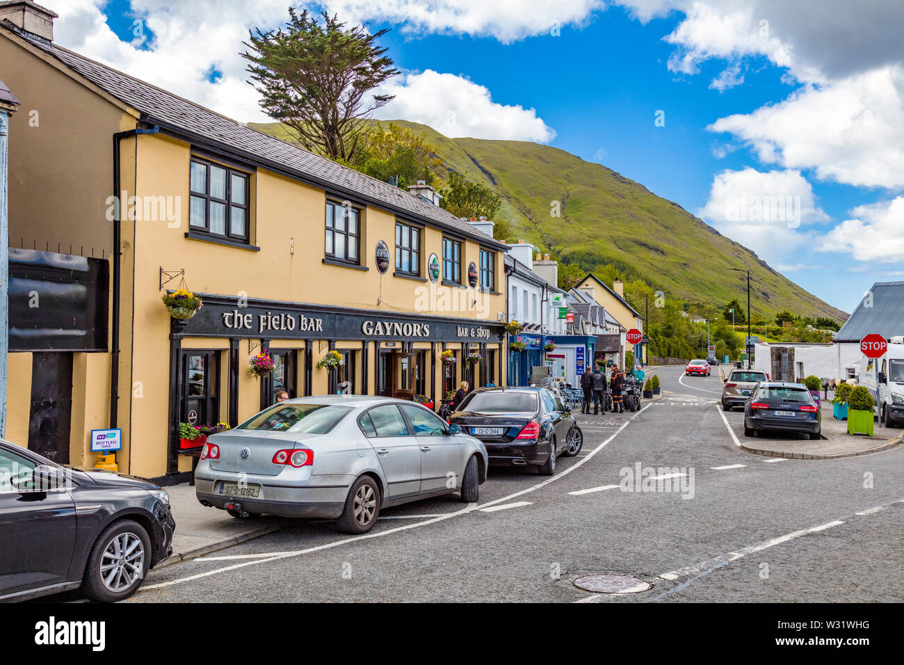 LettershanballyMountain / peak · 519 yd
 Holy well in GlencraffHoly well · 1266 yd
 Tullyconor Bridgebridge · 1.1 mi
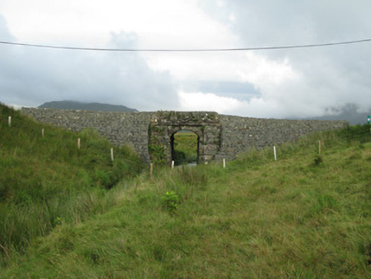 bridgebridge · 1.2 mi
 BúcánMountain / peak · 1.3 mi
 HawthornHawthorn · 1.6 mi
 Enclosure in Bun An MheascáinEnclosure · 1.9 mi
 WaterfallHeritage attraction · 3.1 mi
 The Sheep And Wool Heritage CentreHeritage attraction · 3.2 mi
 Dear IslandIslet · 3.5 mi
 Crows IslandIslet · 3.7 mi
 Aasleagh WaterfallWaterfall · 4.9 mi