What is recorded here
Caher-Mac-Turc was a large stone ringfort in Glebe pasture until men demolished it around 1820 and carried its stones to build Glebe House. What remained was a half-acre enclosure, a two-metre-high wall and a small circular building inside, yet even that has been levelled until no trace shows. The fortnow exists only in the names and stories of the place, a forgotten shape beneath ordinary grass.
In undulating pasture. Wilde (1872) refers to a cashel, Caher-Mac-Turc, demolished c. 1820. Stone used in construction of Glebe House. Stone wall (H 2m; Wth 3m); enclosed area of approx. half an acre. Small circular building in the interior. Levelled; no visible surface trace.
The above description has been derived from D. Lavelle (compiler), An Archaeological Survey of Ballinrobe and District including Lough Mask and Lough Carra. Lough Mask and Lough Carra Tourist Development Association (1994), No. 282.
Date of upload: 12 December 2014
The monument record does not grant public access. Check the route and ask the landowner before entering private land.
- What survives
- Recorded monument
Places near here
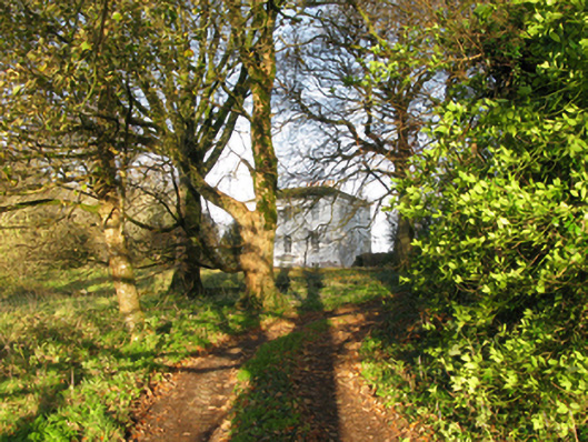 rectory/glebe/vicarage/curate's houserectory/glebe/vicarage/curate's house · 2 yd
 Stone CircleStone circle · 321 yd
 IndicatedFairy fort / stone ringfort · 817 yd
 Ashford Castlegate lodge · 1197 yd
 Kelly's CaveCave · 1245 yd
 Caherduff CastleCastle · 1487 yd
 Cong AbbeyHeritage attraction · 1.1 mi
 Quiet Man MuseumMuseum · 1.1 mi
 TonacashlanCastle, unclassified · 1.2 mi
 European YewEuropean Yew · 1.2 mi
 Silver FirSilver Fir · 1.4 mi
 Easter IslandIslet · 1.5 mi