What is recorded here
No castle, king or boundary line belongs to this place. The claimant is the exception, not the victim. This is the top of the world, not a chamber in somebody else's story. That distinction changes every judgment made here.
A possible cashel and clochaun situated on level ground towards the S end of the narrow strip of cultivated land which lies between the foothills of the Brandon mountain range to NW and the peat bog which occupies the floor of the Owenmore valley to SE. On the OS maps a rectangular sheep-fold is marked here at the junction of 2 field walls. However the present remains consist of a platform bounded to S by a curving scarp, .75 to 1m high, and to N by the field walls (the NE wall now removed) which exhibit a convex curve which, together with the scarp, outline a roughly circular enclosure 14m in external diameter. There are faint traces of a grass-grown wall along the SW perimeter. This may formerly have been a cashel, but the evidence is insufficient for definite classification. A circular depression, 5.5m in diameter, in the NW sector may indicate the location of a hut-site.
The above description is derived from J. Cuppage, ‘Corca Dhuibhne. Dingle Peninsula archaeological survey. Ballyferriter. Oidhreacht Chorca Dhuibhne’ (1986), no. 692. In certain instances the entries have been revised and updated in the light of recent research.
Date of upload: 7 August 2013
The monument record does not grant public access. Check the route and ask the landowner before entering private land.
- What survives
- Recorded monument
Places near here
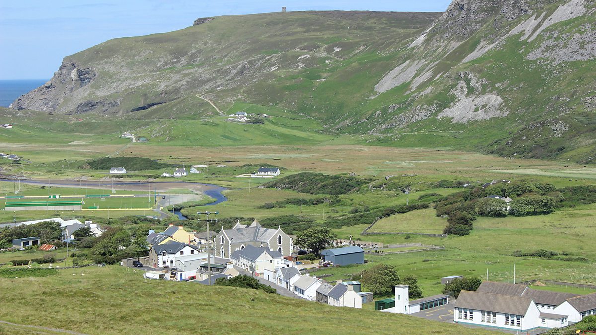 Man-made underground passage in Gleann SeanchoirpMan-made underground passage · 640 yd
 Enclosure in Gleann SeanchoirpEnclosure · 784 yd
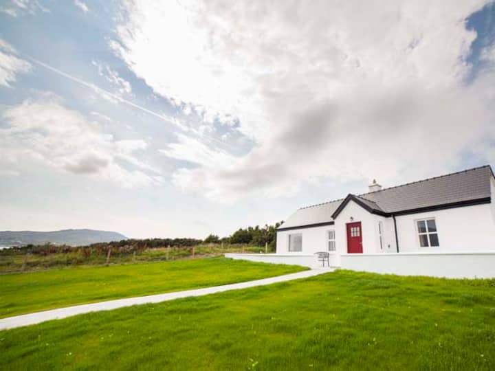 Barr an GhéaráinMountain / peak · 1.2 mi
 An GéaránMountain / peak · 1.3 mi
 CarrignawaddraNamed rock · 1.7 mi
 An ChonairViewpoint · 1.8 mi
 Maughanablagher CliffsCliff · 1.9 mi
 World War II plane crash site: Engine of Focke-Wulf Fw 200 CondorHeritage attraction · 2.0 mi
 Séipéal Bhréanainn [Saint Brendan's Catholic Church]church/chapel · 2.0 mi
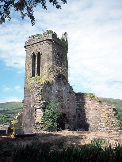 Séipéal an Clochán [Cloghane Church]church/chapel · 2.2 mi
 An CheapaighBeach / strand · 3.6 mi
 An t'Oileán DubhIslet · 3.6 mi