What is recorded here
Situated on a low natural rise of ground in undulating countryside. A circular area (diam. 22.5m N-S) enclosed by a stone wall (Wth 1.7m) of loosely piled rubble with upright boulders in places. The site utilises natural rock outcrop to form the boundary of the enclosure. Internal stone-facing is best preserved at SE and some rock outcrop protrudes from the interior. Possible entrance gap (Wth 3.5m) at SE.
The above description is derived from 'The Archaeological Inventory of County Tipperary. Vol. 1 - North Tipperary' compiled by Jean Farrelly and Caimin O'Brien (Dublin: Stationery Office, 2002). In certain instances the entries have been revised and updated in the light of recent research.
Date of upload/revision: 22 September 2008
The monument record does not grant public access. Check the route and ask the landowner before entering private land.
- What survives
- Recorded monument
Places near here
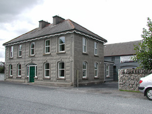 Bridge Househouse · 727 yd
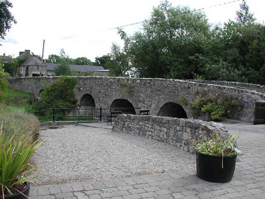 Ballinderry Bridgebridge · 732 yd
 Killea fortFairy fort / earthen ringfort · 1155 yd
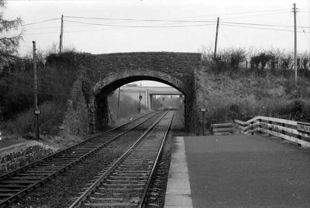 Enclosure in Ballinderry (kilbarron Par.)Enclosure · 1230 yd
 Grassy IslandIslet · 1.6 mi
 Brieny IslandIslet · 1.6 mi
 Drominagh CastleCastle · 1.9 mi
 Tombrickan CastleCastle · 2.1 mi
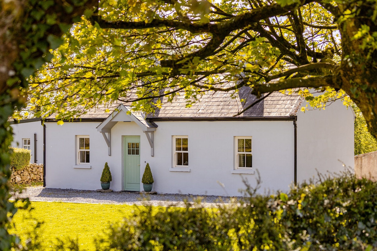 Kylenameely WoodWood · 3.1 mi
 Borris WoodWood · 3.3 mi
 Cregg PointHeadland · 3.7 mi
 Slevoir BayBay · 4.2 mi