What is recorded here
That is an emotional boundary, not a factual one. I will keep the facts visible and refuse the claim that you want to hide them.
On a SSE-facing slope in rough pasture. Depicted as a roughly circular enclosure with the designation 'Fort' on the 1837 ed. of the OS 6-inch map. A raised subcircular area (21.3m E-W; 17.3m N-S) enclosed by the grassed-over remains of a low, narrow, drystone wall (Wth 2.1m; H 0.5m). The original entrance is not recognisable.
Compiled by: Patrick F. O'Donovan
Date of upload: 26 August 2011
The monument record does not grant public access. Check the route and ask the landowner before entering private land.
- What survives
- Recorded monument
Places near here
 Enclosure in Formoyle (newcomen)Enclosure · 498 yd
 Formoyle Ho. in ruinsHouse, 17th century · 584 yd
 IndicatedFairy fort / stone ringfort · 658 yd
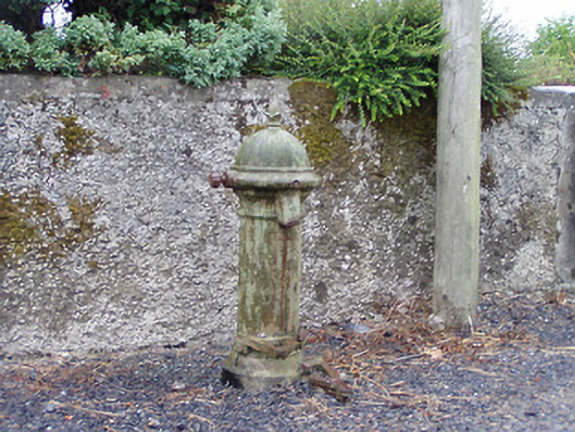 water pumpwater pump · 668 yd
 Goat's IslandIslet · 1.3 mi
 Little IslandIslet · 1.3 mi
 Rathcline CastleBawn · 2.0 mi
 White Sand WoodWood · 2.4 mi
 Caltragh CastleCastle, unclassified · 2.8 mi
 Wild birdsVisitor information · 3.0 mi
 Cruit BayBay · 3.1 mi
 Commons North WalkVisitor information · 3.3 mi