What is recorded here
Forkfield and Gowel still debate the fort, giving it room to breathe in both towns. The stones circle twenty-two metres of dry grass while damp land presses close at south and north, a small ring set inside a wet chamber. Three unknown stones sit outside the northeast wall like markers left behind, and a single thorn tree holds the southern edge against forgetting.
In pasture, located on dry grassland, bordered at S and N−NE by expanses of damp, poorly drained land, and overlooked at SW−W by a high ridge.
This cashel is not indicated on the 1838 and 1930 editions of the OS 6-inch map. It consists of a roughly circular area (22m N−S; 24m E−W) defined by remnants of a stone wall. The wall consists of a rubble core contained between facings of large stones. It is poorly preserved, and is evident mainly as low, grass-covered wall footings (Wth c. 2m; int. H 0.5m; max. ext. H 1m at NE). A gap (Wth 1.75m) in the wall at E may represent an original entrance. Cultivation ridges, on a NNW−SSE axis, traverse the interior. A single thorn tree grows on the edge of the wall at S. Immediately outside the enclosing wall at NE there are three large stones in a roughly N-S row. Their significance is uncertain; one possibility is that they are remnants of a field wall.
Compiled by: Jane O'Shaughnessy
Date of upload: 6 February 2018
The monument record does not grant public access. Check the route and ask the landowner before entering private land.
- What survives
- Recorded monument
Places near here
 IndicatedEnclosure · 920 yd
 CaherFairy fort / stone ringfort · 974 yd
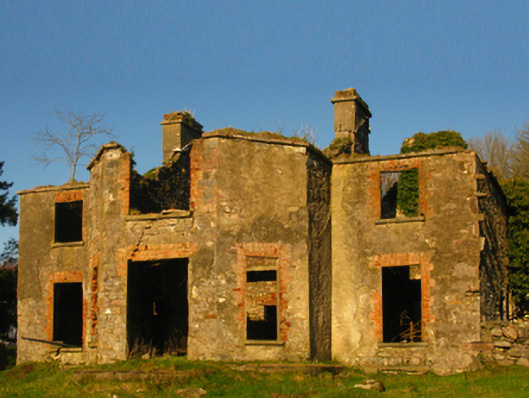 Hazelrock Lodgehunting/fishing lodge · 1.0 mi
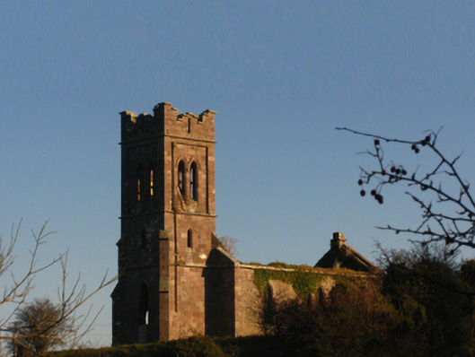 Saint Patrick's Church (Aghagower)church/chapel · 1.1 mi
 Castle in ruinsCastle, unclassified · 1.5 mi
 Carney's Cottage 1863Memorial · 3.0 mi
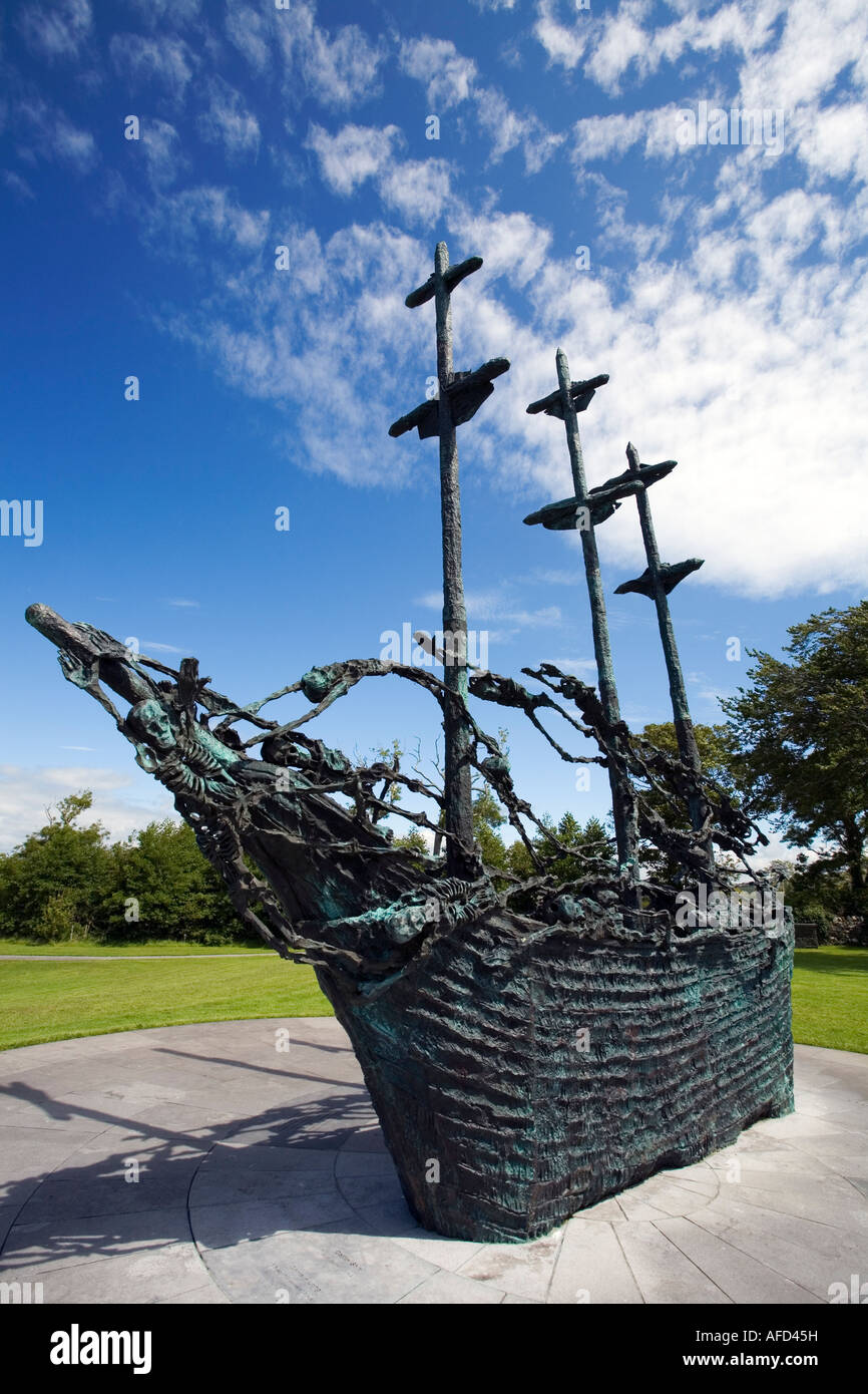 Famine MemorialMemorial · 3.1 mi
 Luffertaun Castle in ruinsCastle, unclassified · 3.9 mi
 Cock IslandWood · 4.0 mi
 Raheens WoodForest · 4.5 mi
 The Celtic FurrowHeritage attraction · 4.9 mi
 Ballintubber AbbeyHeritage attraction · 5.1 mi