What is recorded here
Fairy fort / stone ringfort in Erinagh More joins a cashel on the east, sitting slightly lower in forested ground. Its circular grass and scrub measure about nineteen point six metres east-west and seventeen point five metres north-south, bounded by a slight internal scarp and external rise. Drystone remains appear along the north-west to south-east edge, with stone spreads elsewhere and animal tracks crossing the perimeter at north-north-east and south-east. The place stays absent from the OS six-inch map, preserving a quiet, hidden character beside its named neighbour.
Conjoined to the E of a cashel (CL033-031----) and at a slightly lower level in a forested area. Not indicated on any edition of the OS 6-inch map. A circular grass and scrub-covered area (int. diam. 19.6m E-W; 17.5m N-S) defined by a slight scarp down to the interior (H 0.9m) W-E, and a slight external scarp (H 0.8m at E) elsewhere. The remains of a drystone wall are on the perimeter NW-SE, and stone spreads visible elsewhere. The original width of the wall can be guaged at NNE (Wth 1.4m) and S (Wth 1.8m), and there are animal tracks over the perimeter at NNE and SE.
Compiled by: Michael Moore
Date of upload: 24 May 2016
The monument record does not grant public access. Check the route and ask the landowner before entering private land.
- What survives
- Recorded monument
Places near here
 Enclosure in LicknaunEnclosure · 1385 yd
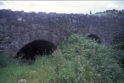 Ballymacquiggan Bridgebridge · 1519 yd
 Kilcross Church (in Ruins)Church · 1621 yd
 Enclosure in Erinagh BegEnclosure · 1756 yd
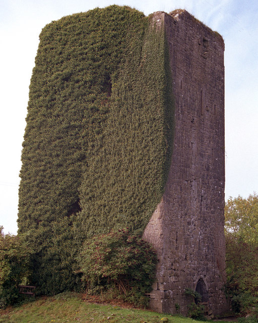 Ballygriffy CastleCastle · 1.3 mi
 Magowna CastleCastle · 1.4 mi
 Ardcarney WoodWood · 1.7 mi
 Ballygriffy WoodWood · 2.2 mi
 Ennis AbbeyMuseum · 2.6 mi
 Clare MuseumMuseum · 2.7 mi
 Poul na gollorCave · 3.1 mi
 Alice and Gwendoline CaveMuseum · 4.1 mi