What is recorded here
Drumminacloghaun held a stone ringfort wide enough for a house and small field, buried now beneath cleared Galway farmland. The fort disappeared because people kept using the land, not because anyone forgot it. What is missing is the visible edge, not the life that filled the middle.
In low-lying farmland. Marked on the 1838 edition of the OS 6-inch map as an oval enclosure (c. 42m NW-SE; c. 35m NE-SW). A house and associated small field occupied the interior. No visible surface trace survives. Extensive field clearance has occurred in this area.
Compiled by: Galway Archaeological Survey, UCG
Date of upload: 24 July 2019
The monument record does not grant public access. Check the route and ask the landowner before entering private land.
- What survives
- Recorded monument
Places near here
 Hilltop enclosure in DrumminacloghaunHilltop enclosure · 361 yd
 Man-made underground passage in BallylennanMan-made underground passage · 770 yd
 Calluragh Chapel (in ruins)Church · 894 yd
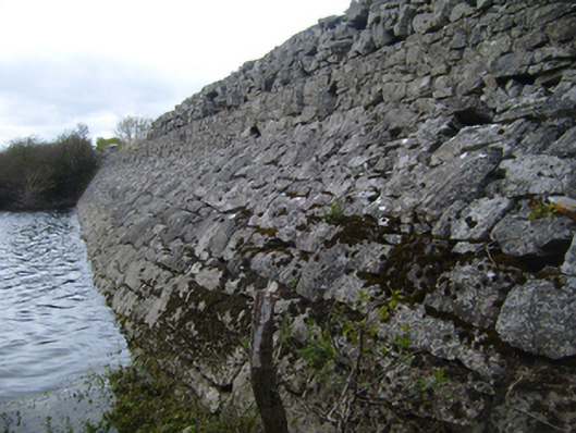 road (section of)road (section of) · 1019 yd
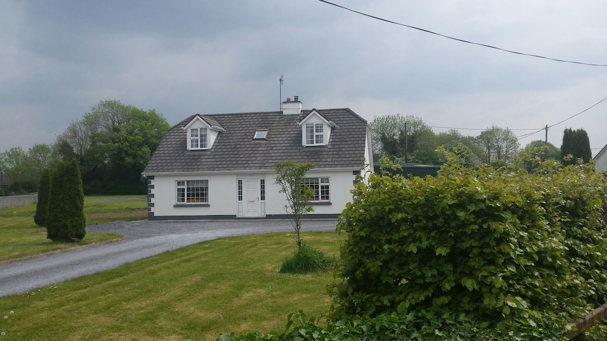 Bawn in Castlequarter (kiltartan By.)Bawn · 1401 yd
 Cavalry Bks on Site of Gort CastleCastle, unclassified · 1.1 mi
 Coole-Garryland Nature ReserveNature reserve · 1.8 mi
 Holm OakHolm Oak · 1.9 mi
 Kilmacduagh Monastic SiteVisitor information · 2.0 mi
 Kilmacduagh MonasteryHeritage attraction · 2.1 mi
 Castle IslandIsland · 2.9 mi
 Swan IslandIsland · 3.2 mi