What is recorded here
The rejected answer contained no new story. I need to use the supplied facts about a circular cashel and a D-shaped annexe in rough pastureland. I can describe the collapsed wall, the later field wall, and the risk that people now see an ordinary farm boundary instead of a fortified place. I should make that transformation vivid without inventing a date, person or event.
In rough pastureland. Poorly preserved circular cashel (diam. 34m) defined by a collapsed drystone wall which is overlain by a later field wall from E to S. A large D-shaped enclosure or annexe (N-S 49m), of similar construction to the cashel wall, is visible around E half of the monument. (McCaffrey 1952, 27a, no. 41)
Compiled by: Galway Archaeological Survey, UCG
Date of upload: 11 December 2017
The monument record does not grant public access. Check the route and ask the landowner before entering private land.
- What survives
- Recorded monument
Places near here
 IndicatedEnclosure · 935 yd
 Drumharsna Castle (in ruins)Castle, tower house · 1205 yd
 Drumharsna CastleHeritage attraction · 1206 yd
 Enclosure in Drumharsna SouthEnclosure · 1226 yd
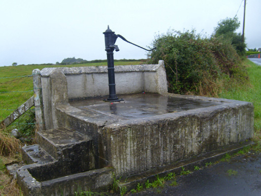 water pumpwater pump · 1476 yd
 Maryville Househouse · 1.0 mi
 Ballymaquiff CastleCastle · 1.3 mi
 HawthornHawthorn · 2.5 mi
 European ashEuropean ash · 2.5 mi
 Mulroney's IslandIslet · 4.1 mi
 Cusheen IslandIslet · 4.4 mi
 Drumacoo Monastic SiteHeritage attraction · 4.8 mi