What is recorded here
No visible stone remains in Drumharsna South, yet the lost fort likely stood thirty metres wide within the grassland. It may have been a sturdy home, a defensive shelter or a boundary marker for a nearby settlement. The absence of ruins does not erase the purpose of the place. The land still holds the shape of a choice made by people who believed the fort would help them survive.
In grassland. Classified by McCaffrey (1952, 272, no. 36) as a circular ‘Stone fort’ (diam. c. 33.8m) defined by a drystone wall. No visible surface trace survives.
Compiled by: Galway Archaeological Survey, UCG
Date of upload: 11 December 2017
The monument record does not grant public access. Check the route and ask the landowner before entering private land.
- What survives
- Recorded monument
Places near here
 IndicatedEnclosure · 1358 yd
 Enclosure in Drumharsna NorthEnclosure · 1559 yd
 Drumharsna Castle (in ruins)Castle, tower house · 1739 yd
 Drumharsna CastleHeritage attraction · 1740 yd
 Maryville Househouse · 1.2 mi
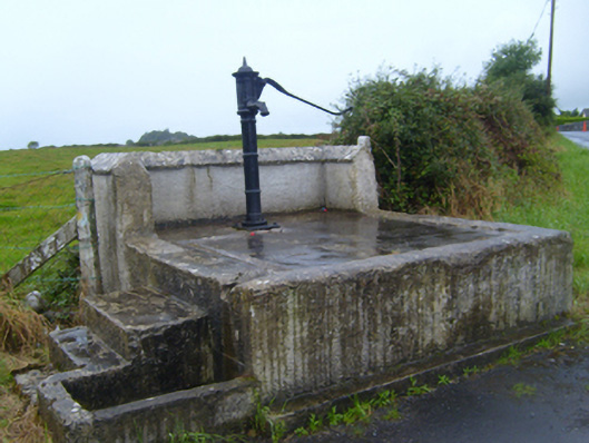 water pumpwater pump · 1.4 mi
 Ballymaquiff CastleCastle · 1.8 mi
 HawthornHawthorn · 3.1 mi
 European ashEuropean ash · 3.1 mi
 Mulroney's IslandIslet · 3.5 mi
 Cusheen IslandIslet · 3.8 mi
 Drumacoo Monastic SiteHeritage attraction · 4.4 mi