What is recorded here
Doonnagore holds a broken stone ring on a steep pasture rise, facing west and north. The cashel lost much of its wall, yet double-faced footings, a berm and an underground passage still mark the shape. It may have been a home, a shelter or a boundary place, but the slope and stones suggest people shaped the land before forgetting its name.
On a rise in pasture, with land sloping steeply all around and wide views from W to N. This poorly preserved subcircular cashel is defined from NNE to WSW by a steep scarp (H 0.4-1m), and from WSW to NNE by the footings of a double-faced wall (est. Wth 2m; ext. H 1m), outside of which is a berm (Wth 2m) and scarp (H c. 0.4m), sparse remains of collapsed stone revetting and horizontal foundation slabs, as well as downslope tumble (Wth 1-2m). The berm and scarp may have been constructed in order to prevent erosion or slippage, as this is the steepest part of the slope. A later drystone wall is built over the inner face of the cashel wall from WSW to NNE. The interior is highest in the centre and slopes down (H c. 1m) to the perimeter. There is a Man-made underground passage (CL008A004002-) in the N half.
The following images have been uploaded:
CL008A004----_01.jpg Enclosing elements from W
CL008A004----_02.jpg View from N
CL008A004----_03.jpg View from SSE
Compiled by: Mary Tunney and Conn Herriott
Date of upload: 9 January 2023
The monument record does not grant public access. Check the route and ask the landowner before entering private land.
- What survives
- Recorded monument
Places near here
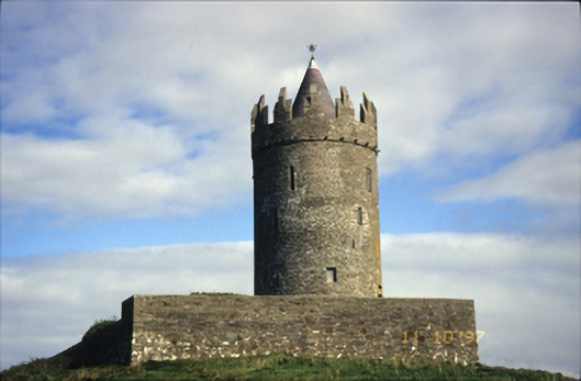 Doonnagore Castlecastle/fortified house · 669 yd
 Doonagore Castle in ruinsCastle, tower house · 669 yd
 CaherEnclosure · 1086 yd
 Enclosure in DoonnagoreEnclosure · 1094 yd
 Doolin Cliff WalkWalking route · 1487 yd
 bridgebridge · 1535 yd
 Doolin FerriesHeritage attraction · 1753 yd
 Wild Atlantic Way: Doolin PierVisitor information · 1.0 mi
 Doonmacfelim Castle (in Ruins)Castle, tower house · 1.0 mi
 Ballaghaline PointHeadland · 1.0 mi
 Fisherstreet PotCave · 1.1 mi
 Crab IslandIslet · 1.2 mi