What is recorded here
Doonfeeny Upper holds a stone ringfort that local memory still calls a fairy fort. The name suggests people once believed the fairies lived there, not merely that humans built a strong place. The stones may have served as a fortress, a boundary marker or a sacred shelter, yet the fairy label preserves the wonder more vividly than any dry factual description.
The Archaeological Survey of Ireland (ASI) is in the process of providing information on all monuments on The Historic Environment Viewer (HEV). Currently the information for this record has not been uploaded. To access available information for research purposes please make an appointment in advance with the Archive Unit (open Fridays 10.00 am – 5.00 pm), Department of Housing, Local Government and Heritage, The Custom House, Dublin 1 D01W6XO or email NMarchive@housing.gov.ie.
The monument record does not grant public access. Check the route and ask the landowner before entering private land.
- What survives
- Recorded monument
Places near here
 Holy well in Doonfeeny LowerHoly well · 480 yd
 Church in ruinsChurch · 518 yd
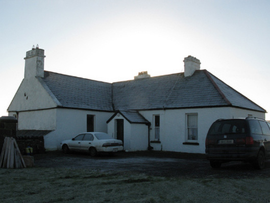 rectory/glebe/vicarage/curate's houserectory/glebe/vicarage/curate's house · 1136 yd
 Enclosure in KillerduffEnclosure · 1688 yd
 BlowholeCliff · 1.1 mi
 Ballycastle BeachBeach / strand · 1.1 mi
 Céide FieldsHeritage attraction · 2.0 mi
 Castle (in ruins)Castle, tower house · 2.0 mi
 Céide Fields Visitor CentreVisitor information · 2.0 mi
 Ceide FieldsHeritage attraction · 2.1 mi
 PollatarriveCliff · 3.9 mi
 Lisheen Grave YardArchaeological place · 4.5 mi