What is recorded here
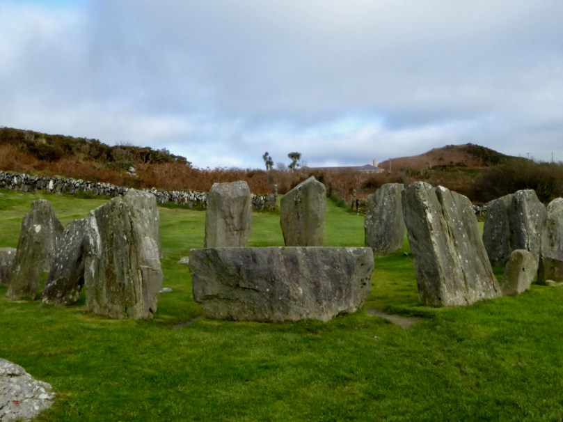
Dooneens holds a broken oval of stone, thirty metres long and twenty-five wide, where a collapsed wall and later field fence mark the edge of a forgotten home. Hartnett identified a raised causeway through the northern gap as the true entrance, while other breaks pierce the east and west. The shape suggests people once lived there, tended fire, and left before the grass took back the path.
In rough grazing. Oval area (c. 30m N-S; c. 25m E-W) enclosed by collapsed stone wall W->E; later stone field fence E->W. Hartnett (1939, 55) noted raised causeway of stone leading from a break midway in northern rampart', as original entrance. Other gaps to E and W.
The above description is derived from the published 'Archaeological Inventory of County Cork. Volume 3: Mid Cork' (Dublin: Stationery Office, 1997). In certain instances the entries have been revised and updated in the light of recent research.
Date of upload/revision: 14 January 2009
The monument record does not grant public access. Check the route and ask the landowner before entering private land.
- What survives
- Recorded monument
Places near here
 Stone CircleCairn, radial-stone cairn · 608 yd
 Childrens Burial GdBurial ground · 619 yd
 Carrigagulla HouseCountry house · 1254 yd
 KilnKiln, lime · 1.0 mi
 BurrenMountain / peak · 1.5 mi
 Clonavrick CliffCliff · 2.8 mi
 Knockduff Wind FarmVisitor information · 2.9 mi
 Knockcraugh HillMountain / peak · 3.0 mi
 Black WoodWood · 3.5 mi
 Paddy Mulcahey 2009Memorial · 4.1 mi
 Standing Stone ? At J WellMemorial · 4.5 mi
 Mullinhassig WaterfallWaterfall · 4.6 mi