What is recorded here
Fairy fort / stone ringfort in Derrylehan is a fairy fort or stone ringfort in Derrylehan, County Sligo, Ireland. The roughly circular area spans twenty metres and sits in a broad hollow on an east-facing slope. Modern drystone walls now define its limits, while a ruined post-medieval house straddles the southeast boundary. No entrance or fosse remains visible at ground level.
Situated in slight broad hollow, on a slight E-facing slope, in gently undulating pasture. Views are poor in all directions. Roughly circular area (diam. 20m) enclosed by a modern drystone wall (T 1.5m; H 1.1m). There is no fosse visible at ground level. A drystone field wall defines the enclosure SW-NE following the line of the original enclosing element. From NE-SE the limit of the enclosure is defined by a N-S orientated drystone field wall. From SE-SW the limit of the enclosure is defined by an E-W orientated drystone field wall. A ruined post-medieval house straddles the line of the enclosing element at SE. The original entrance is not recognisable.
Compiled by: Patrick F. O'Donovan
Date of upload: 21 April 2011
The monument record does not grant public access. Check the route and ask the landowner before entering private land.
- What survives
- Recorded monument
Places near here
 IndicatedFairy fort / stone ringfort · 96 yd
 Church (in Ruins)Church · 937 yd
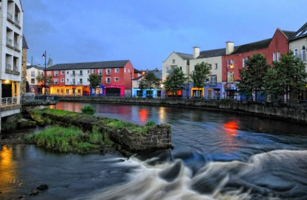 CashelbadeenFairy fort / stone ringfort · 940 yd
 BenwiskinMountain / peak · 1280 yd
 Benwiskin South TopMountain / peak · 1.1 mi
 Gleniff Horseshoe DriveViewpoint · 1.6 mi
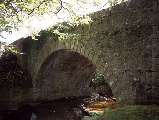 Ballaghnatrillick Bridgebridge · 1.6 mi
 Dermot & Grania's BedCave · 1.7 mi
 Gleniff Horseshoe Drive 2Viewpoint · 1.7 mi
 BenbulbenMountain · 2.1 mi
 Cormac Reagh's HoleCave · 3.1 mi
 Creevykeel Court TombNeolithic court tomb · 3.2 mi