What is recorded here
Thirty metres of grass and buried stone circle the crest where the Owennayle valley bends. People called it a fairy fort because human memory withdrew, but the paved eastern entrance and outer ditch prove it served living bodies who wanted exclusion. The fairies may have inherited the shape after the people stopped naming it.
Situated at the crest of the E-facing slope of a plateau in the Owennayle river valley with the W-E Graffy River c. 100m to the S. This is a grass and rush-covered circular area (int. diam. 31.5m N-S; 30m E-W) defined by a grass-covered stone spread (Wth 6.5m at N to 11m at E; int. H 0.2m at W to 0.9m at E) with evidence of the inner facing-stones, and an outer fosse (Wth of base 2m; D 0.3m at S to 1.1m at W). There is a revetted and paved entrance (Wth 2m) at E and intermittent traces of an outer bank S-W.
The above description is derived from 'The Archaeological Inventory of County Leitrim' compiled by Michael J. Moore (Dublin: Stationery Office, 2003). In certain instances the entries have been revised and updated in the light of recent research.
Date of upload: 23 September 2008
The monument record does not grant public access. Check the route and ask the landowner before entering private land.
- What survives
- Recorded monument
Places near here
 Sweat Ho.Sweathouse · 543 yd
.png) IndicatedSweathouse · 1.1 mi
IndicatedSweathouse · 1.1 mi ArdlougherMountain / peak · 1.5 mi
 CorrakeeldrumMountain / peak · 1.8 mi
 TobermurrySpring · 1.9 mi
 Corrard ForestForest · 2.0 mi
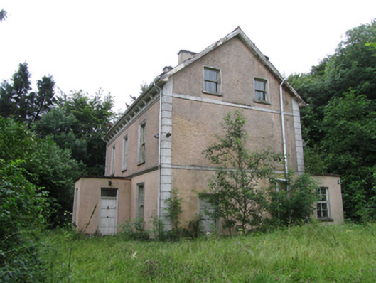 Corrard Househouse · 2.1 mi
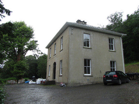 Manor Houserectory/glebe/vicarage/curate's house · 2.1 mi
 Republican Garden of RemembranceMemorial · 2.7 mi
 Forde's CastleCastle · 4.6 mi
 Gull RockIslet · 4.7 mi
 Gull IslandIslet · 4.7 mi