What is recorded here
Deelin More holds a subsquare cashel beside a high promontory, its rounded corners and curved stone sides still marking a small defended place above the valley. The main enclosure measures about 28.5 metres east to west, has a wall up to 1.3 metres high and 1.2 metres thick, and contains the foundations of at least one rectangular building along its southern interior. An attached eastern enclosure and a northwestern field wall suggest that the site was not a lonely chamber but a working household, farmstead or refuge, exposed enough to watch the land below and solid enough to keep what it valued safe.
On the edge of a high promontory overlooking a valley to the S. A subsquare partially overgrown cashel (c. 28.5m E-W) with rounded corners and slightly curved sides defined by a wall (H up to 1.3m; T 1.2m). Foundations of at least one rectangular building are along the S interior. An enclosure (CL006-215001-) is attached at E and a field wall extends NW from the NW corner. This monument was reported to the National Monuments Service by Michael Gibbons.
The following image has been uploaded:
CL006-215----_01.jpg View of cashel from N. Cashel at top left. (Photo: Michael Gibbons)
Compiled by: Mary Tunney
Date of upload: 16 June 2021
The monument record does not grant public access. Check the route and ask the landowner before entering private land.
- What survives
- Recorded monument
Places near here
 Enclosure in Deelin MoreEnclosure · 37 yd
 Concentric enclosure in Deelin MoreConcentric enclosure · 587 yd
 Castle Mael (in ruins)Castle, unclassified · 1.1 mi
 Turlough CastleArchaeological place · 1.3 mi
 PoulnabroneMemorial · 2.1 mi
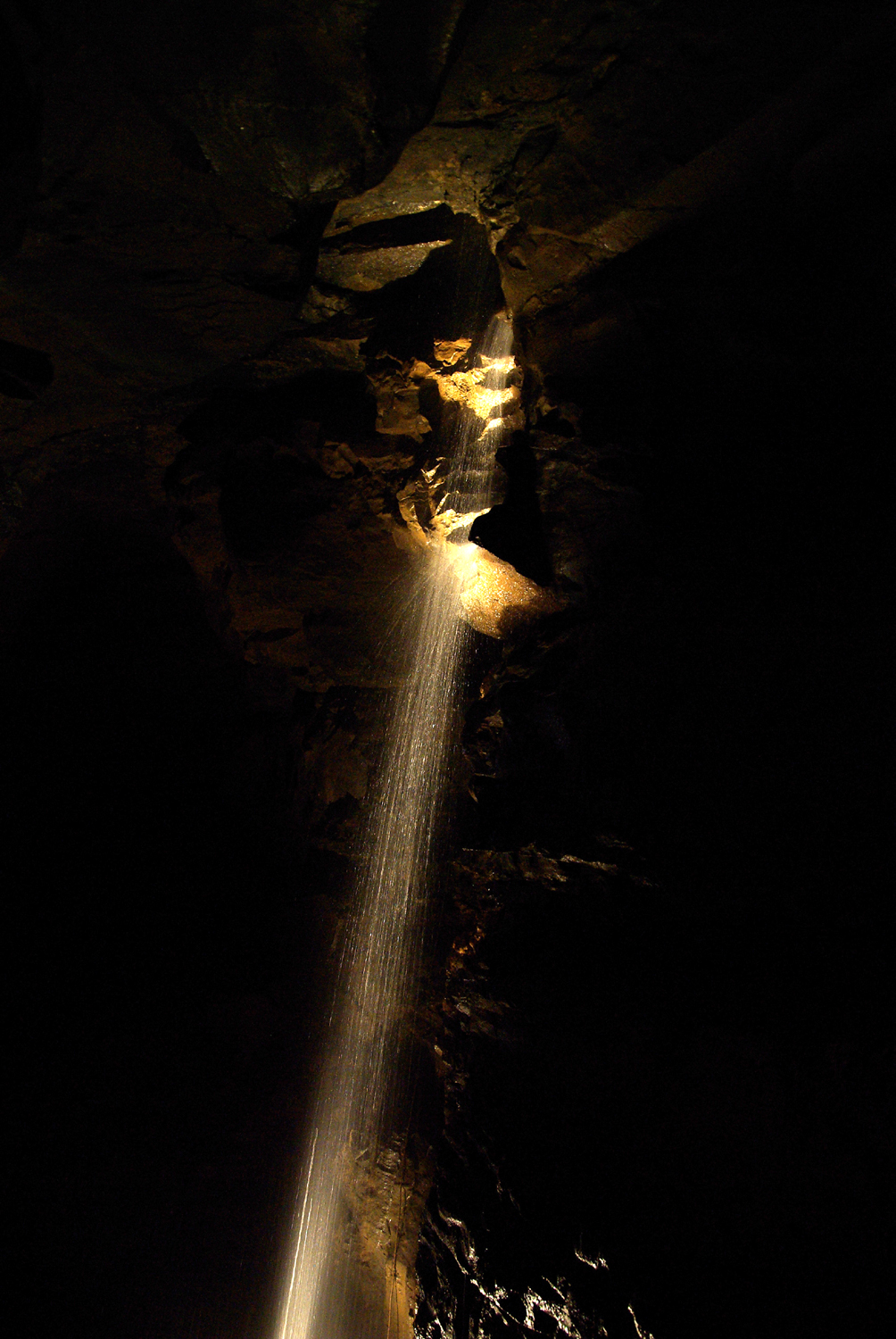 Aillwee CaveCave · 2.2 mi
 Aillwee Cave Visitor Centreheritage centre/interpretative centre · 2.2 mi
 Bird Of Prey CentreHeritage attraction · 2.3 mi
 Gleninshing portal tombHeritage attraction · 2.5 mi
 The Portal TombVisitor information · 2.8 mi
 Poulnabrone - Burren GeositeVisitor information · 2.9 mi
 Saint Columba's Catholic Churchchurch/chapel · 2.9 mi