What is recorded here
No visible wall, no chamber, no chambered mound, no buried gate. A small circular hut on an open ridge, a shadow on old maps, a name that laughs at certainty. Curraderra is a place where knowledge stops pretending to be complete. What is missing is not a flaw. It is the shape of the world, refusing to be owned by one story or one measure.
On a slight rise with good views in all directions. Hachured on the 1840 and 1920 OS 6-inch maps. A circular grass and scrub-covered area (int. diam. 32m E-W; 30m N-S) defined by a stone spread (Wth 3.5-5.8m; int. H 0.5-0.7m; ext. H 0.3m at N to 0.9-1.2m generally). A circular hut-site (CL026-040002-) (int. diam. 7m) defined by a stone spread (H 0.5m) is at the centre.
Compiled by: Michael Moore and Mary Tunney
Date of upload: 17 November 2025
The monument record does not grant public access. Check the route and ask the landowner before entering private land.
- What survives
- Recorded monument
Places near here
 Enclosure in BallyoganEnclosure · 1501 yd
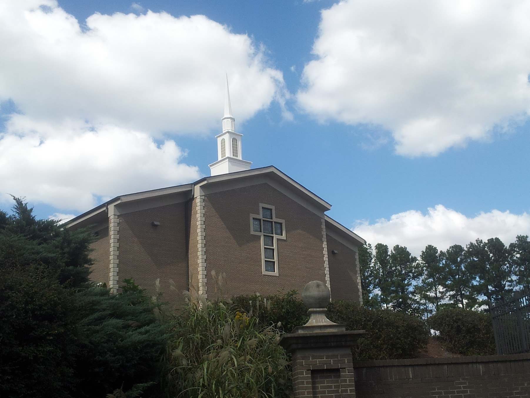 Church in KillianChurch · 1591 yd
 Enclosure in BearnafunshinEnclosure · 1597 yd
 Abbey (in ruins)Religious house, Augustinian canons · 1.1 mi
 CastleCastle, ringwork · 1.3 mi
 Dromore WoodWood · 1.7 mi
 Castle (in ruins)Castle, unclassified · 1.7 mi
 Mulkere MemorialMemorial · 2.4 mi
 Ardcarney WoodWood · 2.7 mi
 Battle of TullyodeaBattlefield · 3.8 mi
 Ennis AbbeyMuseum · 4.9 mi
 Clare MuseumMuseum · 5.0 mi