What is recorded here
Fairy fort / stone ringfort in Creggyconnell is a fairy fort or stone ringfort in Creggyconnell, County Sligo, Ireland. The D-shaped cashel measures 17m on each side and stands on a slight SW-facing slope in gently undulating pasture. A 1.7m wide and 1.7m high drystone bank of rubble limestone encloses the site, with a curved section running NNE-SW and straightened sections raised from SW-NE and NW-NNE. The wall was reconstructed on all sides using an un-coursed facing of random rubble with a core of smaller rubble, but the original entrance is no longer recognisable.
Situated on a slight SW-facing slope in gently undulating pasture. Roughly D-shaped area (dims. 17m N-S; 17m E-W) enclosed by a drystone bank of rubble limestone (Wth 1.7m; H 1.7m). There is no fosse visible at ground level. The curved section of the wall encloses the site NNE-SW. The wall has been straightened off from SW-NE and from NW-NNE. The straightened sections of the wall have been raised (H 1.7m). The wall of the cashel has been reconstructed on all sides and consists of an un-coursed facing of random rubble with a core of smaller rubble. The original entrance is not recognisable. A modern stile is located midway along the straightened section of the wall at W.
Compiled by: Patrick F. O'Donovan
Date of upload: 21 April 2011
The monument record does not grant public access. Check the route and ask the landowner before entering private land.
- What survives
- Recorded monument
Places near here
 LiscarraghFairy fort / earthen ringfort · 280 yd
 Enclosure in BallyweelinEnclosure · 631 yd
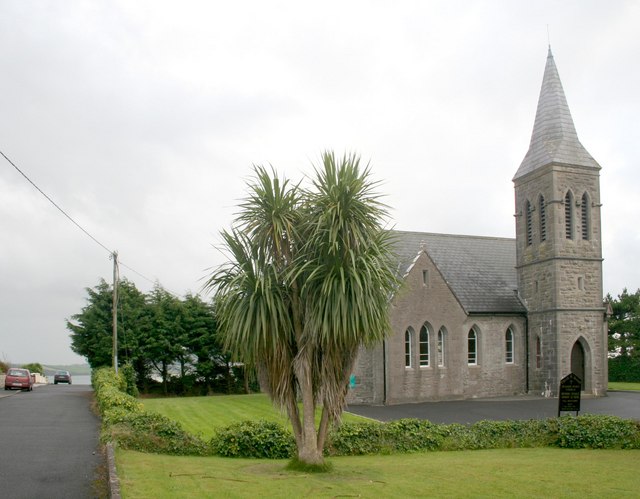 Rosses Point Church (Drumcliff)church/chapel · 998 yd
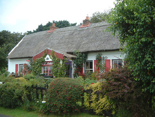 An Sean Tuíhouse · 1368 yd
 Waiting on ShoreMemorial · 1.3 mi
 Oyster IslandIslet · 1.3 mi
 Rosses Point BeachBeach / strand · 1.5 mi
 CastleCastle, unclassified · 1.6 mi
 Finned PointHeadland · 1.7 mi
 Drumcliff BayBay · 1.9 mi
 Grave of WB YeatsHeritage attraction · 2.1 mi
 Drumcliff CemeteryGraveyard · 2.1 mi