What is recorded here
No stone, ditch or ridge remains visible in the flat Galway fields, though a nineteenth-century survey marked a subcircular enclosure nearly thirty-eight metres across. The land was later reclaimed and worked, erasing the fort from sight while preserving its ghost in measurement. Whatever lived there has returned to soil, memory and legend.
In level recently reclaimed farmland. Marked on the 1838 edition of the OS 6-inch map as a subcircular
enclosure (c. 38m NE-SW; c. 32m NW-SE). No visible surface trace survives.
Compiled by: Galway Archaeological Survey, UCG
Date of upload: 23 July 2019
The monument record does not grant public access. Check the route and ask the landowner before entering private land.
- What survives
- Recorded monument
Places near here
 Enclosure in Crannagh (kiltartan Ed)Enclosure · 607 yd
 CavesMan-made underground passage · 1154 yd
 Maryville Househouse · 1.1 mi
 European BeechEuropean Beech · 1.1 mi
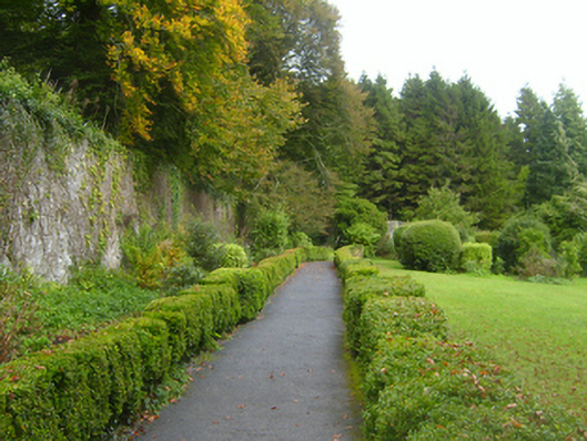 Coolewalled garden · 1.1 mi
 Southern catalpaSouthern catalpa · 1.1 mi
 Ballymaquiff CastleCastle · 2.1 mi
 Kiltartan Castle (in ruins)Castle, Anglo-Norman masonry castle · 2.2 mi
 Drumharsna CastleHeritage attraction · 2.4 mi
 Kilmacduagh Monastic SiteVisitor information · 4.4 mi
 Kilmacduagh MonasteryHeritage attraction · 4.4 mi
 Mulroney's IslandIslet · 5.0 mi