What is recorded here
Crannagh holds a ruined stone ring where later field walls straddle the remains of an older cashel. The subcircular outline still measures twenty-five metres across even though much of the drystone enclosure has collapsed into the level farmland. People may have lived, hidden or marked time within that broken circle before the land was divided again.
In level farmland. Poorly preserved subcircular cashel (25m NE-SW) defined by a collapsed drystone wall except from NNW to N where no visible surface trace survives. The enclosing element is overlain by later field walls.
Compiled by: Galway Archaeological Survey, UCG
Date of upload: 1 December 2017
The monument record does not grant public access. Check the route and ask the landowner before entering private land.
- What survives
- Recorded monument
Places near here
 Enclosure in Crannagh (kiltartan Ed)Enclosure · 471 yd
 CavesMan-made underground passage · 520 yd
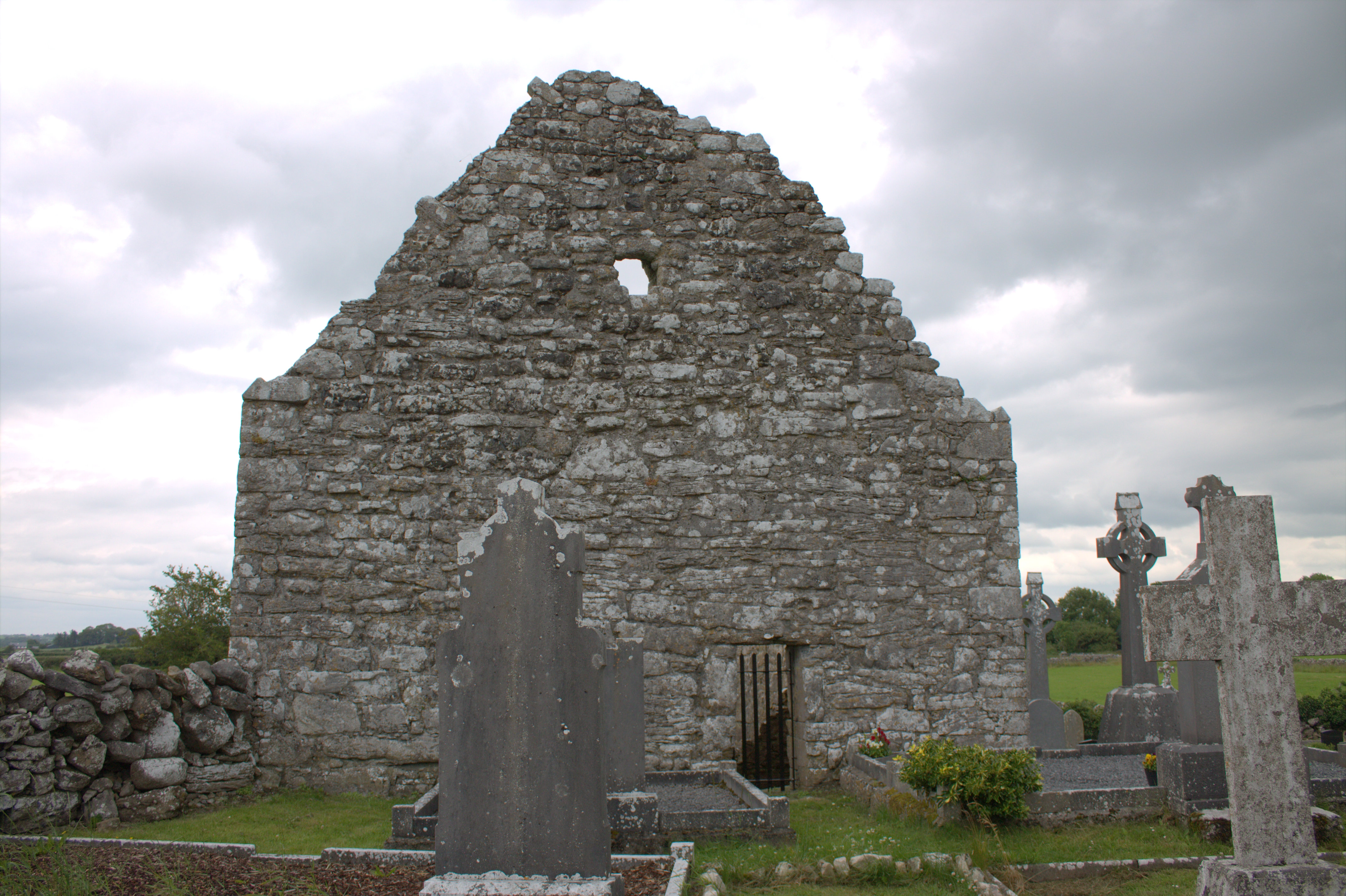 Killomoran Church (in ruins)Church · 1560 yd
 Maryville Househouse · 1647 yd
 European BeechEuropean Beech · 1.4 mi
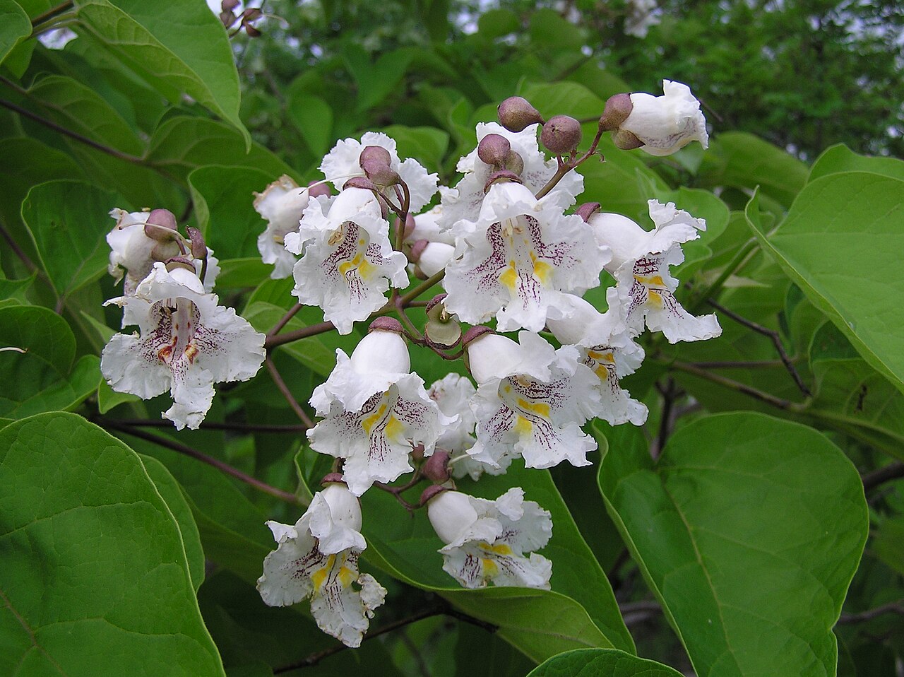 Southern catalpaSouthern catalpa · 1.5 mi
 Castle in ruinsCastle, unclassified · 2.0 mi
 Ballymaquiff CastleCastle · 2.5 mi
 Drumharsna CastleHeritage attraction · 2.6 mi
 Kilmacduagh Monastic SiteVisitor information · 4.2 mi
 Kilmacduagh MonasteryHeritage attraction · 4.3 mi
 Mulroney's IslandIslet · 4.6 mi