What is recorded here
No fairy ever flew here. A family of builders raised the round wall on the rocky ridge, cut the narrow door, and lived inside the circle while the field system stretched around them. They are gone now, but the wall still stands half collapsed in the pasture, and the small enclosures beside it show where their world reached. The fort is not a mystery. It is the remains of an ordinary life that stopped being ordinary only because nobody lives there to remember it.
In elevated rocky pasture surrounded by level ground with restricted views and within an extensive multiperiod field system (CL005-160001-). Hachured on the 1840 and 1916 OS 6-inch maps. Noted by Westropp (1899, 372) as one of three ‘nearly-levelled cahers’ in the S of Cragballyconoal townland. A subcircular cashel (38m N-S; 34m E-W) defined by a partially collapsed cashel wall. The outer wall-facing survives around most of the monument and is highest to the E (H 0.7m). The inner wall-facing survives intermittently and is highest to WSW (H 0.8m). The cashel is bisected by a tall drystone wall shown on the 1916 OS map and aligned N-S, with breaches on either side of this wall. The position of the original entrance is unclear. The interior is flat and contains a Man-made underground passage (CL005-160046-) to the E of the bisecting wall. Three small irregular drystone enclosures abut the E external wall of the cashel, and a subrectangular enclosure depicted on the 1916 ed. OS map abuts its W side. A large subrectangular enclosure (CL005-160052-) abuts the N side of the cashel.
Compiled by: Mary Tunney and Eve Campbell
Date of upload: 30 September 2025
A stone ringfort in Cragballyconoal, likely dating to the early medieval period, is situated in an elevated, rocky pasture within a multiperiod field system. It is associated with local folklore referring to it as a "fairy fort," reflecting beliefs in supernatural inhabitants common in Irish tradition.
The monument record does not grant public access. Check the route and ask the landowner before entering private land.
- What survives
- Recorded monument
Places near here
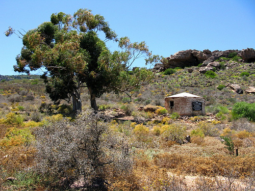 Fort and Cave HachuredFairy fort / stone ringfort · 372 yd
 MonumentMass-rock · 436 yd
 PoulnabroneMemorial · 514 yd
 Poulnabrone DolmenHeritage attraction · 1.1 mi
 The Portal TombVisitor information · 1.1 mi
 Poulnabrone - Burren GeositeVisitor information · 1.2 mi
 Gleansleade Castle (in ruins)Castle, tower house · 1.4 mi
 Caherconnell Stone FortRuins · 1.4 mi
 Gleninshing tombHeritage attraction · 1.4 mi
 Castle (in ruins)Castle, unclassified · 1.9 mi
 Saint Columba's Catholic Churchchurch/chapel · 2.0 mi
 Cave of the Wild HorsesCave · 2.1 mi