What is recorded here
Half a kilometre south of Ballycroy, a rectangular cashel crouches on a rocky slope, its heavy walls still standing two metres high on three sides. The south gate once held a chamber, perhaps a guard room, and inside the fort a small round hut and two corner cells suggest a household rather than a barracks. People may have watched the western sea from here, judged weather, kept stock or simply belonged to the land. The fairy fort name does not dismiss that human life; it preserves the feeling that the place still resists ordinary explanation.
In elevated rocky pasture on a SW-facing slope overlooked by higher ground to the N and E with extensive views to the S and W. Within an extensive multiperiod field system (CL005-160001-). Hachured on the 1840 and 1916 OS 6-inch maps. Described by Westropp (1899, 372) as a ‘fort, D-shaped in plan, with the straight side to the south’. Included by Bowmer (2019, 62-4) as a ‘heavy-walled cashel’.
A rectangular cashel (43.5m N-S; 40.5m E-W) defined by heavily collapsed stone walls (Wth 2.2-3.9m) with inner (max. H 0.5m) and outer facing (max. H 2m) surviving on all sides, concealed in places by collapse. The walls survive best on the S, W and N and the E side has been heavily disturbed. The entrance (Wth c. 3m) is near the centre of the S wall. A single upright jambstone survives on the E side. Three recumbent slabs, one outside the entrance and two inside may have formed a gateway. A thickening in the wall here (Wth 3.9m) may indicate the former presence of a gatehouse. The interior is uneven with some rock outcrop aligned N-S close to the centre. The possible footings of subcircular structure (CL005-311----) lie just E of this and were described by Westropp (ibid.) as a ‘defaced circular cloghaun’ (int. diam. c. 3.6m). Two cells or hut sites occupying the NW and NE corners are visible on OSi MapGenie orthophotography (2013-2018) and may be later in date. A straight Man-made underground passage (CL005-160044-) lies within the NW quadrant.
Another cashel (CL005-160019-) with a Man-made underground passage (CL005-160045-) lies c. 80m to the S, and an enclosure (CL005-160051-) lies c. 50m to the N.
Compiled by: Mary Tunney and Eve Campbell
Date of upload:
The monument record does not grant public access. Check the route and ask the landowner before entering private land.
- What survives
- Recorded monument
Places near here
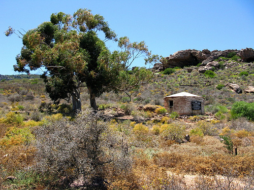 Fort and Cave HachuredFairy fort / stone ringfort · 131 yd
 MonumentMass-rock · 227 yd
 PoulnabroneMemorial · 237 yd
 Poulnabrone DolmenHeritage attraction · 1664 yd
 The Portal TombVisitor information · 1668 yd
 Poulnabrone - Burren GeositeVisitor information · 1.0 mi
 Caherconnell Stone FortRuins · 1.2 mi
 Gleansleade Castle (in ruins)Castle, tower house · 1.3 mi
 CaherconnellHeritage attraction · 1.3 mi
 Castle (in ruins)Castle, unclassified · 2.0 mi
 Cave of the Wild HorsesCave · 2.0 mi
 Saint Columba's Catholic Churchchurch/chapel · 2.1 mi