What is recorded here
No entrance remains in Corrudda, only a broken circle of scarps and scattered stone on a sunny woodland shelf. The fort lost its gate and much of its wall, yet it still occupies the slope like a forgotten room. People may have lived there before the stones fed other buildings, but the earth kept the shape while human memory faded.
Located on a shelf of rock outcrop on a S-facing slope in mixed woodland. This is a circular area (int. diam. 27.4m NW-SE) defined by the remains of an extensively robbed drystone wall with inner and outer facing-stones intermittently visible (Wth of wall 2m at N). There is no identifiable original entrance and the perimeter is reduced to a scarp (max. H 1-1.4m) at SE.
The above description is derived from 'The Archaeological Inventory of County Leitrim' compiled by Michael J. Moore (Dublin: Stationery Office, 2003). In certain instances the entries have been revised and updated in the light of recent research.
Date of upload: 23 September 2008
The monument record does not grant public access. Check the route and ask the landowner before entering private land.
- What survives
- Recorded monument
Places near here
 Green IslandIslet · 922 yd
 IndicatedFairy fort / stone ringfort · 1468 yd
 Enclosure in KilcoosyEnclosure · 1532 yd
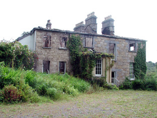 Drumlease Glebe Houserectory/glebe/vicarage/curate's house · 1.0 mi
 Dromahair Church (Drumlease)church/chapel · 1.4 mi
 Old HallCastle, hall-house · 1.6 mi
 Doonbran Isd.Bawn · 2.5 mi
 Cullentra ForestForest · 2.7 mi
 Parke's CastleHeritage attraction · 2.8 mi
 Trawane BayBay · 3.3 mi
 InnisfreeIslet · 3.4 mi
 BenboMountain / peak · 3.5 mi