What is recorded here
Hazel branches drag across a collapsed stone ring in Coad, hiding a cashel that people may have built to keep out rain, wolves or unwanted company. The wall has fallen into a mossy band, but the circle still suggests a small defensible life rather than an empty field. A later drystone wall reaches north from the ruin, as if somebody continued the boundary after forgetting the shape.
In hazel woodland in an undulating landscape. Hachured on the 1897 OS 25-inch plan and the 1920 ed. of the OS 6-inch map. Listed as ‘Enclosure’ in the RMP (1996). This densely overgrown and very poorly preserved subcircular cashel (int. diam. c. 14m; est. ext. diam. c. 23m) is defined by a wall (Wth c. 1.3m at N) with few visible facing-stones. The wall has generally collapsed, forming a band of moss-covered stones (Wth 6-7m; int. H 0.4m; ext. H 0.6-0.8m). A later drystone wall extends N from the cashel. A track/clearing through the woodland has destroyed the remains of the cashel wall from N to E.
Compiled by: Mary Tunney and Conn Herriott
Date of upload: 14 August 2023
The monument record does not grant public access. Check the route and ask the landowner before entering private land.
- What survives
- Recorded monument
Places near here
 Enclosure in CoadEnclosure · 673 yd
 IndicatedEnclosure · 821 yd
 Coad Churchchurch/chapel · 915 yd
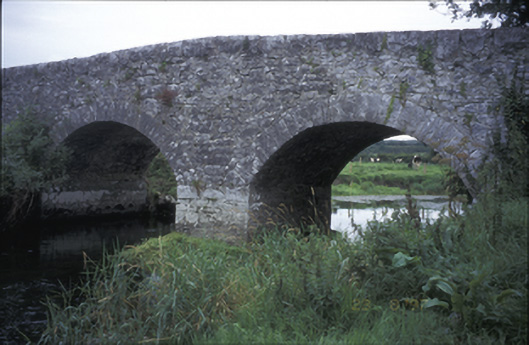 Poplar Bridgebridge · 1494 yd
 Rock IslandIsland · 1590 yd
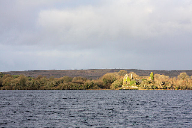 Inchiquin Castle (in ruins)Castle, tower house · 1664 yd
 Inchiquin IslandIslet · 1693 yd
 Castle (in ruins)Castle, tower house · 1714 yd
 Fergus River CaveCave · 2.2 mi
 Burren National ParkVisitor information · 2.7 mi
 Battle of TullyodeaBattlefield · 2.9 mi
 Mullagh MoreMountain / peak · 4.1 mi