What is recorded here
Casheloogary is a ruined stone ringfort in County Donegal, reduced to a 13.1 m arc after extensive quarrying. It sits on a low drumlin hill where pasture now covers most of the ancient boundary. The remaining stones mark the southeast edge of a place people once shaped, defended or occupied before being taken apart for newer uses.
A short arc of stones 13.1 m long is probably the remains of the outer-wall-facing of the SE part of Casheloogary, marked on 2nd and 3rd editions of OS 6-inch maps. The site has been extensively quarried. The site is located on a low hill in fairly good pasture, in an area of drumlins.
The above description was derived from the 'Archaeological Survey of County Donegal. A description of the field antiquities of the County from the Mesolithic Period to the 17th century.' Compiled by: Brian Lacey with Eamon Cody, Claire Cotter, Judy Cuppage, Noel Dunne, Vincent Hurley, Celie O'Rahilly, Paul Walsh and Seán Ó Nualláin (Lifford: Donegal County Council, 1983). In certain instances the entries have been revised and updated.
Date of upload: 22 September 2008
The monument record does not grant public access. Check the route and ask the landowner before entering private land.
- What survives
- Recorded monument
Places near here
 Drumlaghtafin HillMountain / peak · 846 yd
 bridgebridge · 1485 yd
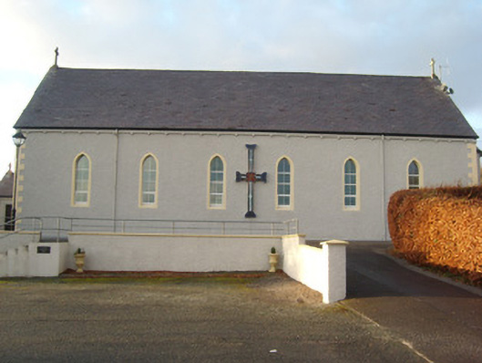 St. Naul's Catholic Churchchurch/chapel · 1.3 mi
 Coolshangan Fairy Fort near Inver GraveyardFairy fort / earthen ringfort · 1.4 mi
 Carraduffy / Killin Court TombCourt tomb · 1.5 mi
 Killin HillMountain / peak · 1.9 mi
 GinkgoGinkgo · 4.1 mi
 Salthill GardensHeritage attraction · 4.4 mi
 Wych ElmWych Elm · 4.6 mi
 Killaghtee Old Church GraveyardGraveyard · 4.9 mi
 Bawn in Rahan NearBawn · 5.3 mi
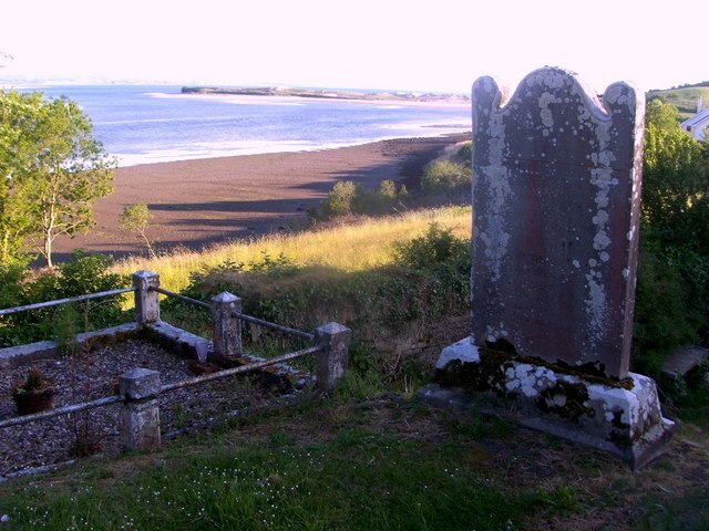 Killymard Old Church GraveyardGraveyard · 5.3 mi