What is recorded here
Fairy fort / stone ringfort in Cashel (castlereagh By., Ballinlough Ed) is a fairy fort or stone ringfort in Cashel (castlereagh By., Ballinlough Ed), County Roscommon, Ireland. The D-shaped site measures 28 metres northeast-southwest and 20 metres northwest-southeast inside a one-metre-wide, one-metre-high stone wall. Large stones cluster at the wall base from southeast to south-southwest, while the local name Cashel Beg identifies the area now working as a vegetable garden.
On a high, level landscape. D-shaped area (int. dims 28m NE-SW; 20m NW-SE) defined by a stone wall (Wth 1m; H 1m), with large stones at the base of the wall SE-SSW. It is known locally as 'Cashel Beg', and is used as a vegetable garden. Cashel (RO025-010001-) is c. 110m to the SSE, and the possible cashel (RO025-009----) is c. 210m to the E.
Compiled by: Michael Moore
Date of upload: 24 August 2010
A D-shaped stone ringfort known locally as 'Cashel Beg', likely dating to the early medieval period, situated on a high, level landscape with a stone wall up to 1m wide and 1m high. The name 'Cashel' suggests a possible ecclesiastical or defensive function, while its local designation as a 'fairy fort' reflects traditional folklore associating such sites with supernatural or otherworldly significance.
The monument record does not grant public access. Check the route and ask the landowner before entering private land.
- What survives
- Recorded monument
Places near here
 Embanked enclosureFairy fort / stone ringfort · 265 yd
 IndicatedFairy fort / stone ringfort · 558 yd
 teacher's houseteacher's house · 1390 yd
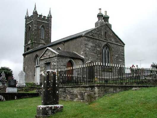 Kiltullagh Church (Kiltullagh)church/chapel · 2.0 mi
 CastleCastle, unclassified · 5.1 mi
 Castle in ruinsCastle, unclassified · 8.1 mi
 Knock MuseumMuseum · 10.0 mi
 Knock ShrineHeritage attraction · 10 mi
 East Mayo Brigade MonumentMemorial · 10 mi
 Site of Killomaine Grave YardArchaeological place · 12 mi
 European ashEuropean ash · 17 mi
 Crow IslandIslet · 17 mi