What is recorded here
The collapsed cashel at Carrowntemple still stands 37m wide beside a cairn, though later field walls have buried much of its edge. Two house shadows remain inside, one rectangular and one L-shaped, suggesting people lived there before the stones scattered. The fairies may have taken the roof and kept the wall, but the human shape is clear enough to walk around at dusk.
In N sector of a hilltop enclosure (GA043-033006-) and immediately ESE of a cairn (GA043-033001-). Poorly preserved subcircular cashel (NE-SW c. 37m) defined by a collapsed drystone wall, overlain from SE through W to NE by a later field wall. Within the interior are two possible house foundations: (a - GA043-033003-) to N of centre, a rectangular area of collapsed stone (E-W; L 10m, Wth 7m); (b - GA043-033004-) in SE quadrant, an L-shaped line of grassed-over stone. (Byrne and Gosling 1988, 138-40; CUCAP ATF 21; ASGAP 384:40; 385:6)
The above description is derived from the published 'Archaeological Inventory of County Galway Vol. II - North Galway'. Compiled by Olive Alcock, Kathy de hÓra and Paul Gosling (Dublin: Stationery Office, 1999).
Date of upload: 05 August 2010
The monument record does not grant public access. Check the route and ask the landowner before entering private land.
- What survives
- Recorded monument
Places near here
 Hillfort in Carrowntemple (clare By.),knockacarrigeen,pollaturk OR NewgardenHillfort · 36 yd
 LisheenacarnaFairy fort / earthen ringfort · 182 yd
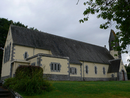 Catholic Church of the Sacred Heartchurch/chapel · 660 yd
 Cashlaun Feecul in ruinsCastle, unclassified · 1422 yd
 Castle Hacketdemesne walls/gates/railings · 1.0 mi
 KnockmaaWood · 1.2 mi
 Castle Hacket (in ruins)Castle, hall-house · 1.3 mi
 Mass RockNamed rock · 2.8 mi
 European ashEuropean ash · 4.1 mi
 Kilcoona Round TowerHeritage attraction · 4.9 mi
 Walsh's IslandIslet · 8.6 mi
 Oileán an AoilIsland · 9.3 mi