What is recorded here
Fairy forts are not witchcraft, but human memory. They are ancient fields, buried houses, forgotten roads and living landscape.
In pasture, located on a rise in undulating terrain. Good views, most extensive SE–SW, restricted to N by rising ground and also by trees and modern buildings.
Slightly raised, circular area (21m N–S; 23m E–W) defined by a stone bank. The stone bank (Wth 5-6m at NW, 4.4m at S; int. H 0.2m; ext. H 0.85m at NW, 1.4m at S) is evident as a low, sod-covered rise of earth and stone, very low internally with a broad external slump. Short sections of external stone facing remain at N suggesting that the stone bank represents the remains of a wall (original Wth c. 2m). The broad external slump appears to rest on a sloping berm-like feature or terrace that extends beyond the external wall face; most clearly seen on the SE arc. This may result from the modification of a natural rise to serve as a platform on which the cashel was built.
The interior is relatively level, but with an uneven surface strewn with stones. There is no clearly defined entrance feature. There is a Man-made underground passage (MA093-002002-) in the S half. A low linear rise/scarp on a NE−SW axis, which lies close to the enclosing stone bank at E, may be the remains of a field boundary.
Grass cover. Field fences shown on the 1916 OS 6-inch map immediately to S and W of the cashel have been removed.
Compiled by: Jane O’Shaughnessy
Date of upload: 14 June 2022
The monument record does not grant public access. Check the route and ask the landowner before entering private land.
- What survives
- Recorded monument
Places near here
 IndicatedFairy fort / earthen ringfort · 925 yd
 Kilronan WellHoly well · 1295 yd
 Mannin Housefarm house · 1.2 mi
 CastleCastle, unclassified · 1.2 mi
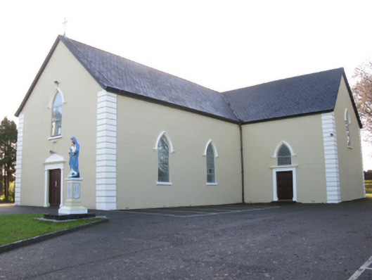 Saint Joseph's Catholic Churchchurch/chapel · 1.3 mi
 Rath Castle in ruinsCastle, tower house · 2.1 mi
 East Mayo Brigade MonumentMemorial · 3.9 mi
 Knock MuseumMuseum · 4.9 mi
 Knock ShrineHeritage attraction · 4.9 mi
 I'll Send You The FareMemorial · 8.3 mi
 Thorn CaveCave · 9.2 mi
 Oak WoodForest · 11 mi