What is recorded here
No trace remains of the oval stone enclosure recorded in 1929, though good pasture now covers the slope where it stood. The outer ring of stones may have marked a destroyed cashel rather than a simple burial site, giving the lost place a stronger shape than first believed.
No trace seems to survive of the oval stone enclosure recorded in 1929. It was said to be 35 ft × 25 ft with a second enclosing 'ring of stones' at the SW side, 10 ft outside the inner wall of 'rough stones'. It was somewhat ruined at the N and S ends and the discov-erer believed it to be a burial site or a hut circle. The outer ring might suggest, however, a destroyed cashel. It was situated c. 700 yards below the summit on the E slope of Gollan Hill. The area is now (though possibly reclaimed) good pasture.
(Boyle-Somerville 1929, 166).
The above description was derived from the 'Archaeological Survey of County Donegal. A description of the field antiquities of the County from the Mesolithic Period to the 17th century.' Compiled by: Brian Lacey with Eamon Cody, Claire Cotter, Judy Cuppage, Noel Dunne, Vincent Hurley, Celie O'Rahilly, Paul Walsh and Seán Ó Nualláin (Lifford: Donegal County Council, 1983). In certain instances the entries have been revised and updated.
Date of upload: 22 September 2008
The monument record does not grant public access. Check the route and ask the landowner before entering private land.
- What survives
- Recorded monument
Places near here
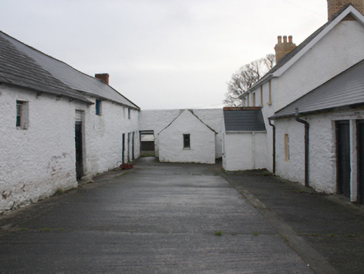 farmyard complexfarmyard complex · 754 yd
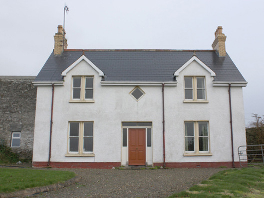 farm housefarm house · 759 yd
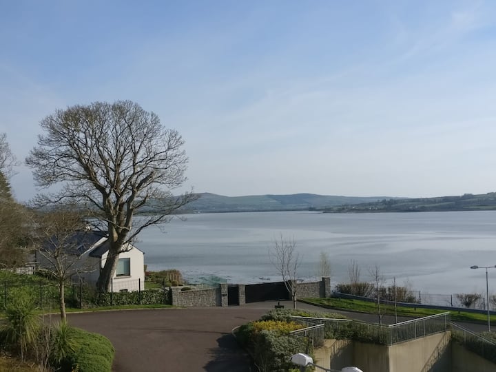 Lisfannan Hilltop EnclosureHilltop enclosure · 886 yd
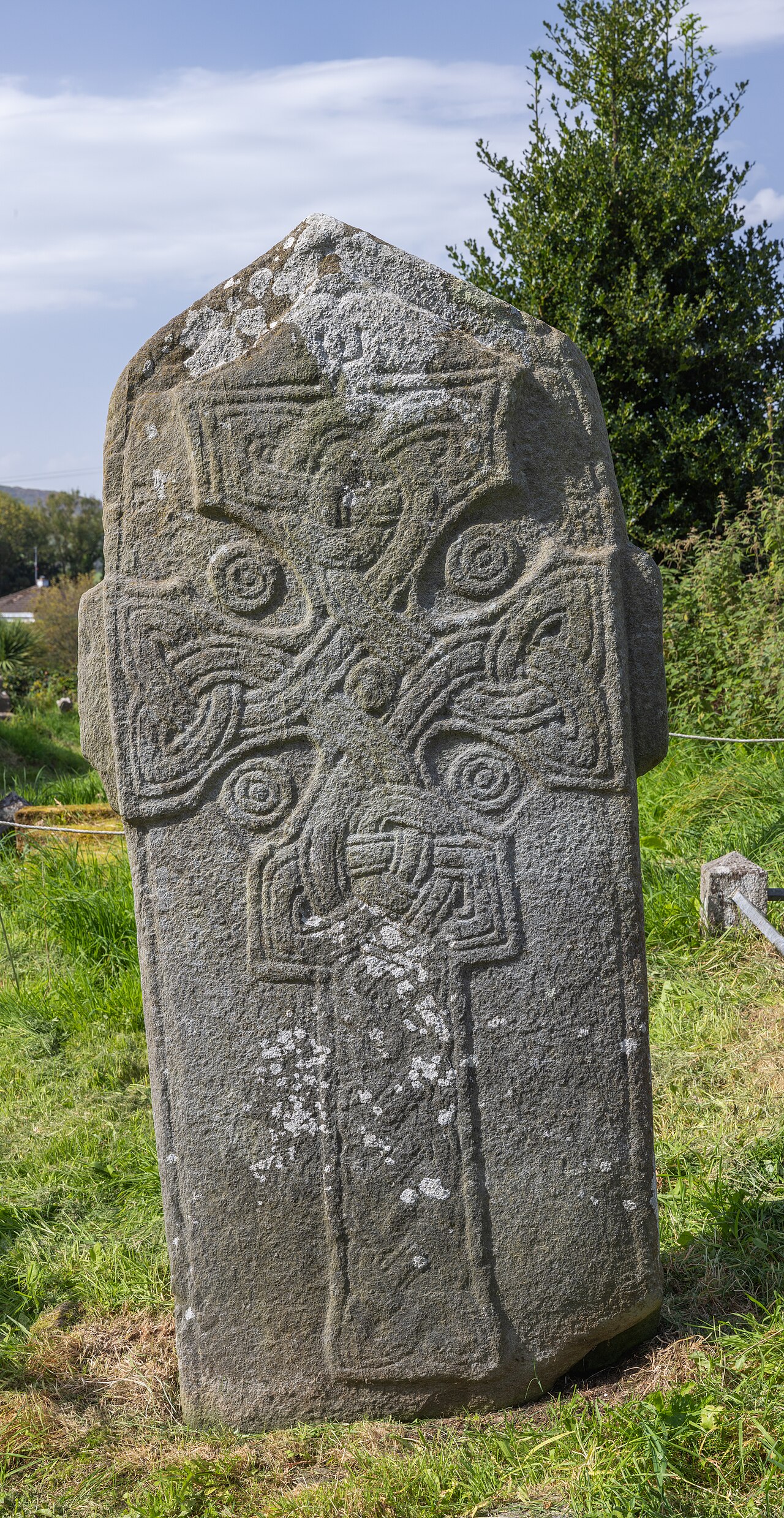 Cross in Glebe (fahan Ed)Cross · 1462 yd
 LisfannonOfficial bathing water · 1.0 mi
 Brown’s PointHeadland · 1.5 mi
 Bawn in An Machaire Beag (tc Fathain)Bawn · 1.6 mi
 Mass RockNamed rock · 1.6 mi
 Lackan ForestForest · 1.7 mi
 Cashel HillMountain / peak · 2.3 mi
 Inch FortCastle · 2.5 mi
 InchIsland · 2.5 mi