What is recorded here
Ballynacourty and Carrowmore still share a boundary marked by the ghost of a forty-two metre stone circle. Holt recorded a third of the wall remaining in 1912, but flooding and time have reduced the ancient fort to a faint aerial shadow and a short length of drystone. The fairies likely reclaimed their own fort, leaving human maps to trace what the land has already forgotten.
In land liable to flooding. Marked on the OS 1:2500 plan (surveyed 1912-16) as a roughly circular enclosure (diam. c. 42m) defined by a line of hachures from NW through E to S and by a pronounced curving laneway from S to NW. Described by Holt (1912, 232, no. 64) as a 'nameless caher, of the wall of which about one third remains, forming the mearing between Carrowmore and Ballynacourty'. Apart from a short length of drystone walling (L 4m; Wth 2m) along the line of the townland boundary, no visible surface trace survives. however, its outline is visible on aerial photographs (https://binged.it/2h5ZnXn last accessed 27 July 2017).
Compiled by: Olive Alcock
Date of upload: 27 July 2017
The monument record does not grant public access. Check the route and ask the landowner before entering private land.
- What survives
- Recorded monument
Places near here
 Settlement desertedSettlement deserted, medieval · 238 yd
 Megalithic structure in BallynacourtyMegalithic structure · 298 yd
 Ballynacourty Court (in ruins)Castle, hall-house · 393 yd
 IndicatedCountry house · 451 yd
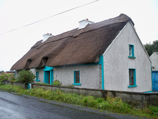 Seagalhouse · 470 yd
 CastleCastle, unclassified · 1573 yd
 Mweenish PointHeadland · 1.0 mi
 Plumbtree FortArchaeological place · 1.1 mi
 MweenisharanIslet · 1.3 mi
 Mweenish IslandIslet · 1.3 mi
 Ardfry PointHeadland · 2.4 mi
 Uncleen WoodsWood · 4.2 mi