What is recorded here
Mortally ill people and desperate women once climbed Carrickrory seeking relief. They touched the cold stones, drank water from the hole or waited for a fairy answer. Some left healed, others empty-handed, and the fort kept every secret it swallowed.
Internal diam. 12m. A small D-shaped area enclosed by a collapsed stone wall .45m high. It is possible to trace a continuation of a curving arc of wall on the W side of the D-shape, probably a reflection of an original circular enclosure. It is situated on high bogland with high rock outcrops.
The above description was derived from the 'Archaeological Survey of County Donegal. A description of the field antiquities of the County from the Mesolithic Period to the 17th century.' Compiled by: Brian Lacey with Eamon Cody, Claire Cotter, Judy Cuppage, Noel Dunne, Vincent Hurley, Celie O'Rahilly, Paul Walsh and Seán Ó Nualláin (Lifford: Donegal County Council, 1983). In certain instances the entries have been revised and updated.
Date of upload: 22 September 2008
The monument record does not grant public access. Check the route and ask the landowner before entering private land.
- What survives
- Recorded monument
Places near here
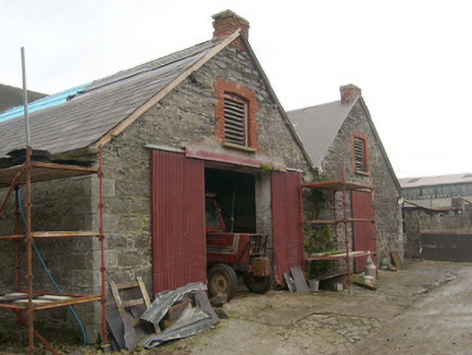 outbuildingoutbuilding · 1.2 mi
 Belalt Bridgebridge · 1.4 mi
 Cross in Carn (pettigoe Ed)Cross · 1.5 mi
 Drumharriff WoodForest recreation place · 1.7 mi
 Castle McGrathCastle · 1.7 mi
 Smiths RocksIsland · 2.2 mi
 ENCLOSURE in PortnablahyENCLOSURE · 2.4 mi
 Teige's RockIsland · 2.5 mi
 Derrin MountainMountain / peak · 2.7 mi
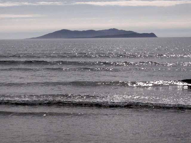 InishturkWood · 2.9 mi
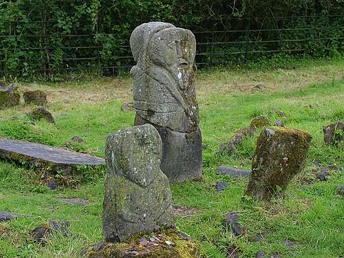 Boa IslandIsland · 3.0 mi
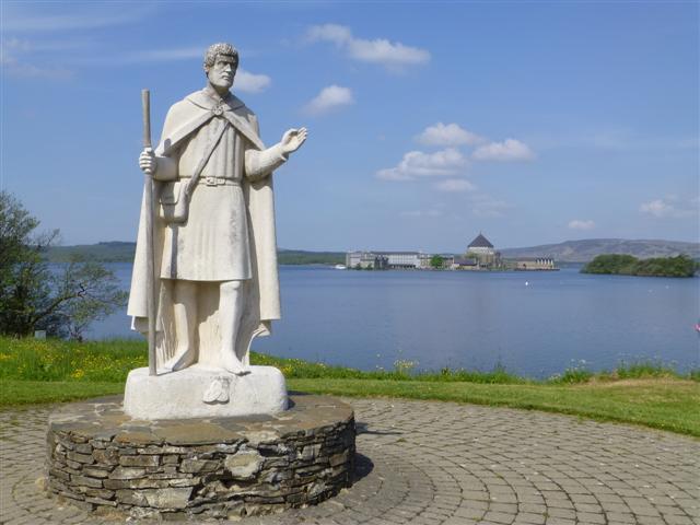 Patrick the PilgrimMemorial · 3.3 mi