What is recorded here
Carnaun holds two cashels forty-five metres apart, creating a paired fortress rather than a lonely outlier. The main ring measures twenty metres across, wearing a low drystone wall that grass has slowly swallowed. Field walls radiate south, southwest and west from its base, proving the site controlled a busy landscape instead of sitting abandoned in empty moorland. People likely lived, argued, farmed or hid inside that small circle before memory faded. The earth still expects witness, even when the wall has become a ridge.
Within a field system (GA084-040002-), c. 45m to the SE of another cashel (GA084-040003-). Poorly preserved subcircular cashel (20m N-S) defined by a low grassed-over drystone wall. A
number of field walls associated with the field system radiate from the monument at S, SW and W.
Compiled by: Galway Archaeological Survey, UCG
Date of upload: 20 January 2017
The monument record does not grant public access. Check the route and ask the landowner before entering private land.
- What survives
- Recorded monument
Places near here
 Field system in Carnaun (athenry By.)Field system · 96 yd
 Convent (in ruins)Castle, ringwork · 168 yd
 RoadRoad, road/trackway · 211 yd
 IndicatedEnclosure · 611 yd
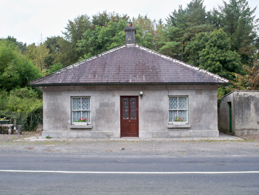 Castle Ellen Housegate lodge · 1236 yd
 Castle (in ruins)Castle, tower house · 1.0 mi
 First Battle of Athenrybattle · 1.9 mi
 Horse-chestnutHorse-chestnut · 2.3 mi
 The HazelWood · 2.5 mi
 Athenry CastleHeritage attraction · 2.5 mi
 Athenry AbbeyHeritage attraction · 2.6 mi
 Cooper's CaveCave · 10 mi