What is recorded here
No visible trace remains at Caheravoley, though local memory and official lists still claim a ringfort or fairy fort in that area. The site may have been a small defended home, a boundary marker, or a lost settlement whose stones scattered during centuries of farming and forgetting. What is certain is that the place still carries an identity, even when the earth has taken back most of its shape.
The Archaeological Survey of Ireland (ASI) is in the process of providing information on all monuments on The Historic Environment Viewer (HEV). Currently the information for this record has not been uploaded. To access available information for research purposes please make an appointment in advance with the Archive Unit (open Fridays 10.00 am – 5.00 pm), Department of Housing, Local Government and Heritage, The Custom House, Dublin 1 D01W6XO or email NMarchive@housing.gov.ie.
The monument record does not grant public access. Check the route and ask the landowner before entering private land.
- What survives
- Recorded monument
Places near here
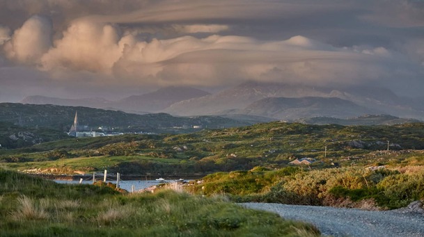 Field system in Caheravoley,kilcahillField system · 382 yd
 Cregboyne FortBawn · 385 yd
 Stone CircleFairy fort / stone ringfort · 503 yd
 IndicatedHouse, indeterminate date · 683 yd
 St. Cathaldus Church (in ruins)Church · 1563 yd
 Castle (in ruins)Castle, tower house · 1.1 mi
 Cregg Castle DemesneForest · 3.5 mi
 European BeechEuropean Beech · 3.9 mi
 Kilcoona Round TowerHeritage attraction · 5.1 mi
 Mass RockNamed rock · 7.2 mi
 Oileán an AoilIsland · 7.8 mi
 Oileán an BhreathnaighIslet · 8.0 mi